11 October 2026
Cloudy periods.
Loading outdoor place details…
Mount Aspiring National Park
This well-graded track follows a section of the old Bridle Track, the first link between Otago and Westland.
Distance
3.5 km
Walking time
1 hr 30 min one way
Difficulty
Easy
Dogs
Not allowed
Wheelchair access
Not marked friendly
Current status
Weather outlook
Issued 11 Oct 2026, 9:23 pm
11 October 2026
Cloudy periods.
12 October 2026
Fine, but becoming overcast at night.
13 October 2026
Rain, heavy for a time in the afternoon. Snow to 2300 metres.
14 October 2026
Rain, with snow to 2100 metres, easing.
15 October 2026
A few showers.
Regional guidance only; elevation and terrain can produce different conditions.
Explore the area
Explore the track route and surrounding area before you set out.
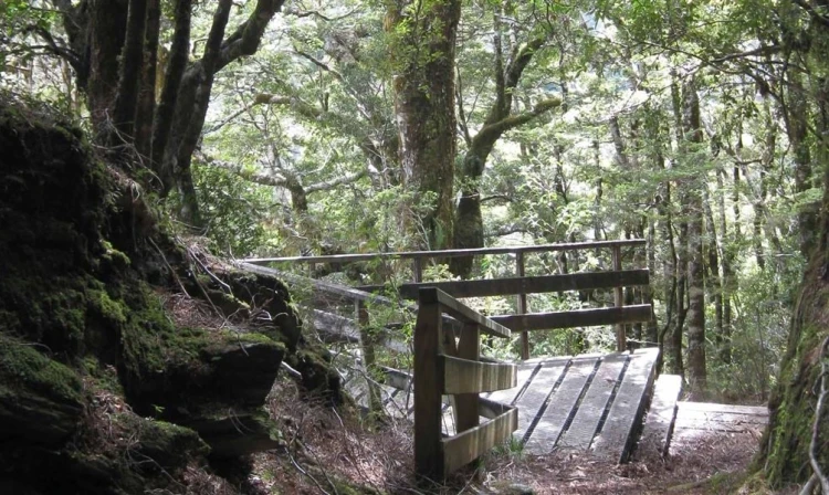
This well-graded forest path follows a section of the historic Bridle Track, once the first link between Otago and Westland. Starting from Davis Flat, the track quickly reaches a swing bridge over a large river, a scenic crossing surrounded by mosses, lichens, and ferns. On the far side, the well-marked trail continues through beautiful beech forest. Walkers can start from either end of the track, but it’s best to use two vehicles or return the same way, as the state highway is narrow and busy. For a longer walk, add the side trip to the Haast Pass Lookout (1 hr return), which starts across SH6 from the summit car park. The nearest toilet facilities are located at the Cameron Flat campsite , 10 km south along SH6
There are two car parks (Davis Flat and Haast Pass/Tioripatea summit), both located approximately 80 km north of Wanaka on the Haast Pass Highway (SH6). Please note that Davis Flat car park is in danger of being washed out during heavy rain. Do not leave your vehicle overnight during heavy rain forecast. Use these links on Google Maps to help you find your way to either the Davis Flat Carpark or the Haast Pass/Tioripatea summit carpark.
We encourage you to continue gaining the skills and knowledge required for a safe trip. The NZ Mountain Safety Council has lots of free resources and information you can use. These can be accessed via www.mountainsafety.org.nz . Level up in your outdoor knowledge with these interactive online learning tools: Trip Planning Tramping / field Skills Basic Navigation River Safety Additionally, check out the range of helpful videos available from the NZ Mountain Safety Council YouTube channel .
No dogs.
Track information, access and weather can change. Confirm current alerts and land-manager information close to departure, tell someone your plans, and carry equipment appropriate for the route and conditions.