10 October 2026
Fine spells. The odd shower, clearing this evening. Northerlies.
Loading outdoor place details…
Kaimai Mamaku Conservation Park
Take this short walk through historic mining country through to the Dickey Flat Campsite.
Distance
4.3 km
Walking time
1 hr one way
Difficulty
Easy
Dogs
On-lead only
Wheelchair access
Not marked friendly
Current status
Weather outlook
Issued 10 Oct 2026, 4:55 pm
10 October 2026
Fine spells. The odd shower, clearing this evening. Northerlies.
11 October 2026
Showers, possibly heavy, easing to the odd light shower by midday. Scattered rain developing late evening. Northwesterlies.
12 October 2026
Showers becoming isolated in the morning but remaining cloudy. Westerlies, turning northerly for a time in the morning and afternoon.
13 October 2026
Partly cloudy, with a few showers in the afternoon. Westerlies.
14 October 2026
A few showers clearing to fine in the afternoon. Northwesterlies.
Regional guidance only; elevation and terrain can produce different conditions.
Explore the area
Explore the track route and surrounding area before you set out.
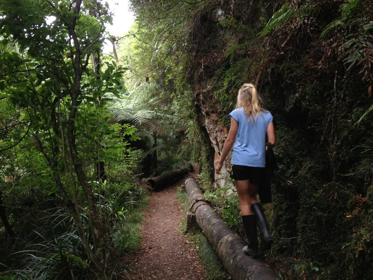
This track offers beautiful scenery, good swimming holes, and fascinating mining relics. It passes the remains of the extensive Karangahake Mines, with optional short side trips to explore tunnels. Further along, the Crown Track follows a historic pipeline and other gold mining remnants. Suitable for most fitness levels, the track includes a 200 m tunnel where a torch is recommended. From the Karangahake Reserve car park, cross the suspension bridge over the Ohinemuri River and head uphill. Follow the Crown Tramway Track along the true left of the Waitawheta River, then cross another suspension bridge and continue upstream past the Crown Stope and a scenic swimming hole (40 minutes from the start). The track then passes through the tunnel before reaching a bridge over the Waitawheta River, just before Dickey Flat. Return the same way.
Mountain biking is not allowed. Be careful of rockfall. Mine tunnels and shafts are dangerous and may be hidden by vegetation. Stay only on official marked tracks. Do not enter tunnels unless they are clearly marked for public access. The ground in tunnels can be rough and uneven. Supervise children at all times. Occasional closures The lower part of the Crown Track along the Karangahake Gorge Historic Walkway will regularly be closed when heavy rainfall is forecast. This is to ensure public safety, which could be affected by weather-induced slips and rock fall - regular occurrences on this track. Dickey Flat Campsite would still be accessible via the Windows Walk when the lower Crown Track is closed. Check with the Tauranga Office for the current status, or call the DOC hotline 0800 DOC HOT (0800 362 468) at weekends and public holidays.
Dickey Flat Campsite is located beside the Waitawheta River, known for its trout and some great swimming holes downstream. There is a year-round liquor ban at the campsite.
Located on the southern side of the Ohinemuri River. The main access point is the Karangahake Reserve Carpark on SH2 at Karangahake. Use this location on Google Maps to help find your way there.
We encourage you to continue gaining the skills and knowledge required for a safe trip. The NZ Mountain Safety Council has lots of free resources and information you can use. These can be accessed via www.mountainsafety.org.nz . We recommend trying these online learning tools: Trip Planning Tramping / field Skills Basic Navigation River Safety Additionally, check out the range of helpful videos available from the NZ Mountain Safety Council YouTube channel
Dogs on a leash only.
Track information, access and weather can change. Confirm current alerts and land-manager information close to departure, tell someone your plans, and carry equipment appropriate for the route and conditions.