11 October 2026
Cloudy periods.
Loading outdoor place details…
Mount Aspiring National Park
This excellent circuit for experienced parties provides spectacular mountain scenery, alpine vegetation and river valleys filled with silver beech/tawhai. You can also do a side trip to Crucible Lake.
Distance
56 km
Walking time
3 - 4 days
Difficulty
Advanced
Dogs
Not allowed
Wheelchair access
Not marked friendly
Current status
Weather outlook
Issued 11 Oct 2026, 7:33 am
11 October 2026
Cloudy periods.
12 October 2026
Fine, but becoming overcast at night.
13 October 2026
Rain, heavy for a time in the afternoon. Snow to 2300 metres.
14 October 2026
Rain, with snow to 2100 metres, easing.
15 October 2026
Partly cloudy with isolated showers.
Regional guidance only; elevation and terrain can produce different conditions.
Explore the area
Explore the track route and surrounding area before you set out.
Cross the stile and follow the orange poles to the junction of the Young and Makarora rivers. Do not attempt to cross the Makarora River if there has been heavy rain, the river is high, or you are unsure. Trampers have drowned attempting this crossing. Alternatives include taking a jet boat or starting from the Blue-Young Link Track. Once across the Makarora, follow Young River on the true left to a swing bridge at the junction of the North and South branches (3 to 4 hours). The track divides after the bridge, and the Young Forks campsite is 200 m upstream, with an open shelter and toilet which campers are encouraged to use. The track to Young Hut (550 m) continues downstream to cross a grassy flat then enters the forest on the true left of South Branch, just beyond the junction. The track climbs steeply for 100 m and then sidles through a series of unstable slips to reach Stag Creek. From here, it’s a steady climb to Young Hut.
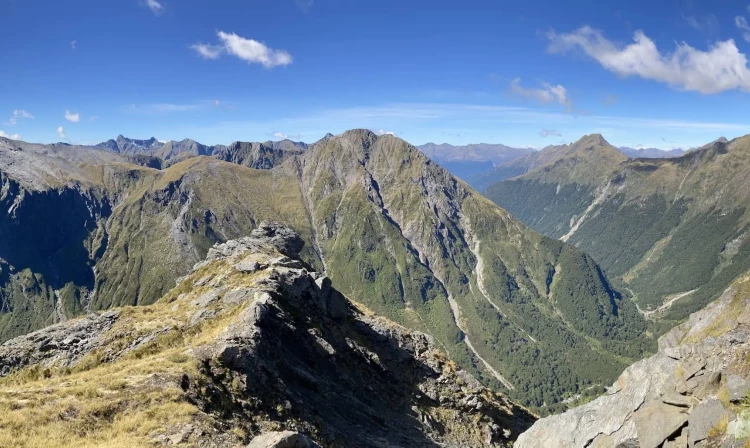
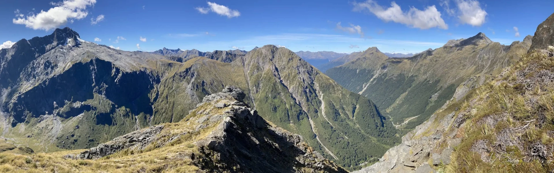
Climb 1 hour to the bushline, cross the bridge over the upper Young and follow the valley floor for about 20 minutes until you reach the start of the Gillespie Pass track on your left. This is usually the last water source until well over the alpine pass, so fill your water bottles before leaving the valley. The track climbs steeply alongside a rock bluff onto a snow-grass spur that, after 3 to 4 hours, veers off to the left before the pass and climbs the ridge to a height of 1600 m. From here, there’s an impressive view, with Mount Awful dominating the skyline. This section is snow covered in winter/spring and should only be attempted during these times by parties with alpine and avalanche experience. The track descends steeply before sidling down through a series of snow grass basins. Take care as snow grass can be very slippery when wet. The track enters the forest on a small predominant spur and leads down to Gillespie Stream. The track continues down through the forest, sidling above Gillespie Stream before descending in a series of zigzags to Siberia Stream. On the valley floor, it’s an easy 1 hour walk to Siberia Hut (630 m), although high rainfall can lead the side streams to be impassable, so ensure you take a tent.
About 30 minutes down from Siberia Hut, travelling on the true left, the track to the Wilkin Valley enters the forest at the southern end of Siberia Flat. It sidles above the Siberia Gorge to descend in a series of zigzags to the Wilkin River (Kerin Forks). Trampers can choose to pre-arrange an exciting jet boat ride from here back to Makarora. There is no need to cross the river to Kerin Forks Hut. Time required: 2-3 hrs. For those who continue, the track follows the flats on the true left of the Wilkin River and enters the forest at the bottom of Dans Flat. The track from here the track is rough in places. When you reach the Makarora River, cross with care if it is safe to do so, watching for soft sand, then continue out to the main road to Makarora Township via Wilkin Road. Crossing the Makarora should only be attempted by parties with river-crossing experience. Be prepared to wait if the river is too high to cross.
Gillespie Pass should only be undertaken by experienced parties with river crossing skills. Tents should be carried. Be aware rivers can become impassable after rain. The circuit is not recommended during winter months due to snow and ice. The Aspiring Biodiversity Trust draws real time weather data from its remote predator trap monitoring systems located in the Upper Wilkin and Siberia Valleys. They've kindly made this publicly available to help you see what the temperatures have been like over the past 28 days. Select HUB 50 to see temperatures for the Lake Crucible area. Otago Regional Council provides publicly available rainfall data for Makarora and river level data on the Wilkin River at Kerin Forks . Sustained or heavy rainfall will result in the river levels rising, which generally makes them dangerous to cross for a day or two after the rain ceases.
From 1 December – 30 April, bookings are required for Siberia Hut, but all other huts are first come – first served. Young Forks Campsite Young Hut Siberia Hut
The circuit can be walked in a clockwise or anti-clockwise direction starting near Makarora. Officially, the track begins on the opposite side of the river from Makarora, with an access track across farmland 2.5 km north of Makarora which connects to the Makarora-Young confluence. As the river is often too high to cross at this point, the Young River end of the track now connects to Blue Pools via the Blue-Young Link Track which has a large car park across the road from Cameron Flat campsite. Use this location in Google Maps to find your way there. It is also possible to get a jet boat from Makarora to the Young River confluence, saving a couple of hours tramping. At the other end, for walkers starting or finishing along the Wilkin Valley, a river crossing of the Makarora is required. Again, it is possible to be picked up by jet boat from the Wilkin River confluence. Other options are to fly by plane in and/or out of Siberia Valley ( Southern Alps Air ) or catch a jet boat from Kerin Forks ( Wilkin River Jets ). All transport needs to be pre-arranged with the transport providers.
We encourage you to continue gaining the skills and knowledge required for a safe trip. The NZ Mountain Safety Council has lots of free resources and information you can use. These can be accessed via www.mountainsafety.org.nz . We recommend trying these online learning tools: Trip Planning Tramping / field Skills Basic Navigation River Safety Additionally, check out the range of helpful videos available from the NZ Mountain Safety Council YouTube channel .
Very exposed to heavy rain from the west/north, which could cause rivers to rise rapidly and make side creeks unsafe to cross. A dam that formed in the Young valley North Branch in 2007 still poses a potential risk to trampers. We recommend you avoid the Young valley during periods of heavy rain. If heavy rain starts during your trip, do not camp in the valley floor and move through the valley as quickly as possible. Watch for any unusual or rapid rises in water levels and move to higher ground if necessary.
No dogs.
Track information, access and weather can change. Confirm current alerts and land-manager information close to departure, tell someone your plans, and carry equipment appropriate for the route and conditions.