09 October 2026
Fine, apart from some cloud about and south of Manukau until early evening. Northeasterlies.
Loading outdoor place details…
Great Barrier Island/Aotea
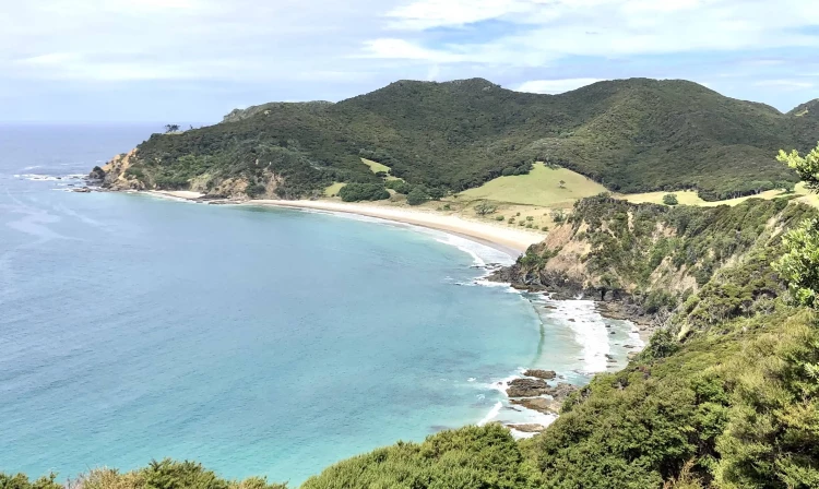
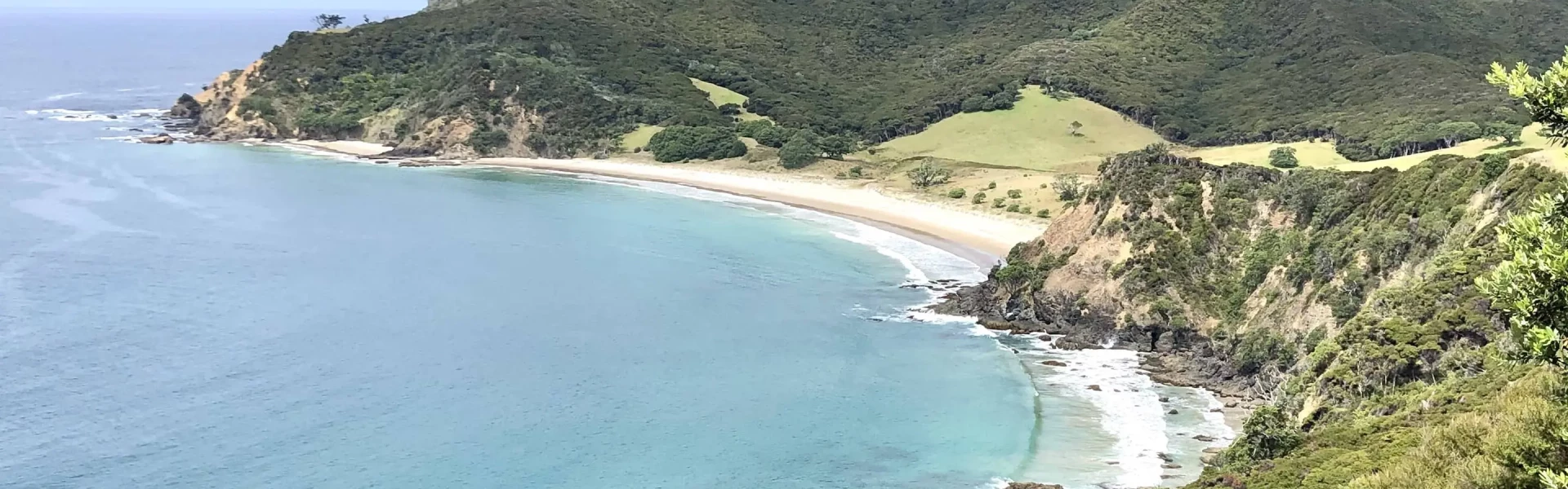
The Harataonga Coastal Walkway is a popular walk on the eastern coast. It has magnificent coastline views.
Distance
11.5 km
Walking time
4 - 5 hr
Difficulty
Advanced
Dogs
Not allowed
Wheelchair access
Not marked friendly
Current status
No active alerts found. Conditions can still change, so check again before leaving.
Weather outlook
Issued 9 Oct 2026, 4:49 pm
09 October 2026
Fine, apart from some cloud about and south of Manukau until early evening. Northeasterlies.
10 October 2026
Partly cloudy with the chance of a light shower, mainly in the morning and early afternoon. Northeasterlies developing in the morning.
11 October 2026
A few showers. Northeasterlies, turning northwesterly before dawn.
12 October 2026
Occasional rain, clearing in the evening. Northwesterlies, dying out in the morning.
13 October 2026
A few showers, clearing in the evening. Light winds.
Regional guidance only; elevation and terrain can produce different conditions.
Explore the area
Explore the track route and surrounding area before you set out.
This easy walk does not have the steep grades of many of the island's other tracks. It winds through regenerating forest and was once the road linking the island's south and north. From Harataonga campsite, the track heads west across a stream before following a coastline of magnificant views. The track ends at Aotea Road at the south end of Okiwi Basin.
The track passes through private property - keep to the marked track. Beware of sheer drops.
Stop kauri disease and protect kauri Scrub all soil off shoes and gear. Use cleaning stations. Always stay on the track. How you can help save kauri
Harataonga campsite is at the southern end of the track. Use this as a launching place, or get dropped off at the northern end, and finish at the campsite for an easy overnight tramp.
Harataonga Coastal Walkway can be started from either end. The Okiwi end starts at a signpost on Aotea Road, at the south end of Okiwi. Use this location in Google Maps to find your way there. Alternatively, you can leave from the Harataonga campsite. Use this location in Google Maps to find your way there.
We encourage you to continue gaining the skills and knowledge required for a safe trip. The NZ Mountain Safety Council has lots of free resources and information you can use. These can be accessed via www.mountainsafety.org.nz . We recommend trying these online learning tools: Trip Planning Tramping / field Skills Basic Navigation River Safety Additionally, check out the range of helpful videos available from the NZ Mountain Safety Council YouTube channel .
No dogs.
Track information, access and weather can change. Confirm current alerts and land-manager information close to departure, tell someone your plans, and carry equipment appropriate for the route and conditions.