11 October 2026
Showers, possibly heavy, clearing to fine in the morning, but returning at night. Northwesterlies developing in the morning.
Loading outdoor place details…
Rangitoto Island
Experience Auckland’s iconic island volcano as you’ve never seen it before. Discover fields of black lava, pōhutukawa forest alive with rare native birds, and views worth every step.
Distance
7 km
Walking time
2 hr return
Difficulty
Easy
Dogs
Not allowed
Wheelchair access
Not marked friendly
Current status
No active alerts found. Conditions can still change, so check again before leaving.
Weather outlook
Issued 11 Oct 2026, 5:43 am
11 October 2026
Showers, possibly heavy, clearing to fine in the morning, but returning at night. Northwesterlies developing in the morning.
12 October 2026
Mostly cloudy with isolated showers, becoming widespread for a time in the afternoon. Northwesterlies.
13 October 2026
Partly cloudy, with isolated showers in the afternoon and evening. Northwesterlies.
14 October 2026
A few showers clearing to fine in the afternoon. Northwesterlies.
15 October 2026
A few showers, some possibly heavy. Northerlies, turning westerly.
Regional guidance only; elevation and terrain can produce different conditions.
Explore the area
Explore the track route and surrounding area before you set out.
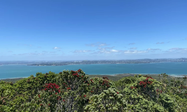
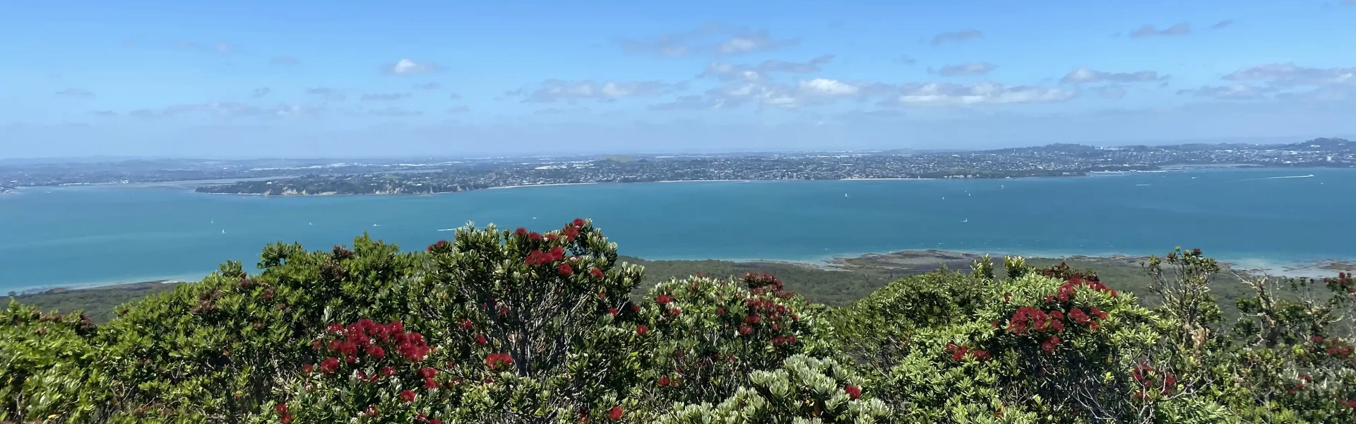
Rangitoto Island summit track begins at the Rangitoto Wharf, a 25-minute ferry ride from Queens Wharf. The Summit Track is the most popular walk on Rangitoto, winding through lava fields and native forest to the peak. The island is the largest pōhutukawa forest in the world, providing home to dozens of shore, sea and forest birds. At the top, take in panoramic views of the Hauraki Gulf across to Auckland. The track features a gentle incline and takes about an hour to reach the top. There are informative signage displays along the way, explaining the island's past volcanic activity and human history. At the summit another track circles the rim of the crater. Side trips Lava Caves Track (30 mins return from Summit track) This short diversion off the Summit Track leads to lava tunnels and caves. If you want to explore the tunnels and caves, bring a torch. Return to the Summit Track or Summit Road via the sign-posted track. Wilson Park Track (45 min from Summit Track) This alternative route to the summit branches off the Summit Track before the Lava Caves Track turnoff. Sections of this track are over broken lava fields - it is rough and uneven underfoot. Good footwear is essential.
The track surface is rough and crosses uneven ground where the track crosses lava fields, so for your comfort, bring good sturdy footwear. Bring food and plenty of drinking water as there is none available on the island. There are no rubbish bins on the island, take your rubbish with you.
Rangitoto Island summit walks begin at the Rangitoto Wharf, a 25-minute ferry ride from Queens Wharf and some sailings travelling via Devonport. You'll need at least half a day (4-5 hours) to visit Rangitoto Island. Please check the time of the last ferry at the start of your trip – a clock on the wharf will indicate the last departure each day.
We encourage you to continue gaining the skills and knowledge required for a safe trip. The NZ Mountain Safety Council has lots of free resources and information you can use. These can be accessed via www.mountainsafety.org.nz . We recommend trying these online learning tools: Trip Planning Tramping / field Skills Basic Navigation Additionally, check out the range of helpful videos available from the NZ Mountain Safety Council YouTube channel .
Rangitoto is a scoria cone. It can get extremely hot on the Island during summer, as the scoria quickly heats up under sunny, light wind situations. Inland parts of Rangitoto (including the walk up to the summit) can experience summertime peak air temperatures that are estimated to be around 5 degrees warmer than mainland Auckland. During south-westerly wind flows in spring and summer, Rangitoto often experiences stronger winds for a time during the afternoon and evening period. While this reduces the risk of extremely hot temperatures on the Summit Walk, it can impact sea conditions for the ferry travelling to and from Rangitoto Island. If making your own way to the island, be aware of the marine conditions coming back to Auckland late in the day. Always check the MetService Waitemata Harbour forecast.
No dogs.
Track information, access and weather can change. Confirm current alerts and land-manager information close to departure, tell someone your plans, and carry equipment appropriate for the route and conditions.