10 October 2026
Cloud about the tops, and a few showers northwest of the Lakes.
Loading outdoor place details…
Mavora Lakes Conservation Park
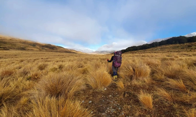
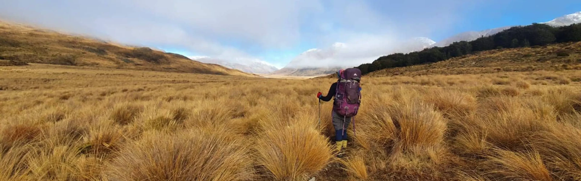
This is a 50 km, four day tramping trip, linking the Mavora Lakes Camping Area with the Greenstone Track. It passes through open valley tussock land and beech forested hill country. This track is part of Te Araroa Trail.
Distance
50 km
Walking time
4 days
Difficulty
Advanced
Dogs
Not allowed
Wheelchair access
Not marked friendly
Current status
Weather outlook
Issued 10 Oct 2026, 7:33 am
10 October 2026
Cloud about the tops, and a few showers northwest of the Lakes.
11 October 2026
Morning cloud and the odd shower northwest of the lakes, then fine.
12 October 2026
Fine.
13 October 2026
Rain developing.
14 October 2026
Heavy rain easing to showers. Snow to 1700 metres.
Regional guidance only; elevation and terrain can produce different conditions.
Explore the area
Explore the track route and surrounding area before you set out.
North Mavora to Careys Hut Time:2-3 hours Distance: 10km The walk starts from the North Mavora Lake and follows a 4WD track for a few hours easy walking to Careys Hut which is situated near the shore of the lake. At times this track can be busy with motorbikes, 4 wheel drive vehicles and cyclists. Careys Hut is a standard 7 bunk hut with a fireplace. As there is vehicle access to the hut, it can often be busy. Careys Hut to Boundary Hut Time: 2 hours Distance: 6 km From Careys Hut the track climbs a bit and after about 1.5km there is a track junction, take the right branch to continue on to Boundary Hut and keep following the Mararoa River upstream (taking the left junction would take you up the Windon to Forks Hut). After about another 2km there is another track junction to the left but keep heading straight following the river upstream along the open valley to Boundary Hut. Boundary Hut has a total of 4 bunks. Boundary Hut to Taipo Hut Time: 3-4 hours Distance: 12 km Cross the swing bridge near the hut and then you will keep following the Mararoa River and valley upstream (track is on the true right) following marker poles. The track follows open tussock land with a few small stream crossings and fantastic views of the valley on a good day. Taipo Hut is on the north side of the swing bridge. Taipo Hut has a total of 4 bunks. Taipo Hut to Greenstone Hut Time:4-5 hours Distance:10km From Taipo Hut the track continues through open tussock land following marker poles up the Pond Burn Valley to the saddle. Before the saddle is reached, the track enters into beech forest. This saddle is the highest point of the track at 728m high. The track then heads down the Passburn and then sidles down to Greenstone Hut . Greenstone Hut is a serviced 20 bunk hut. Greenstone Hut to Road End Time: 3-5 hours Distance: 11km From Greenstone Hut the track continues downhill and crosses a swing bride across the Greenstone River. Head downstream from here and continue following the track out to the road end. An alternative option if you want to come out close to Te Anau is to continue along to McKellar Hut and out to the Divide. This would be another night out.
Be aware This is an advanced tramping track so navigation and route finding skills required. This track is a great option in winter but Boundary and Taipo Huts can be very cold as they do not have fireplaces. You will need to bring your own cooker. There are some stream crossings and the track can be muddy in places. Dogs are allowed in Mavora Lakes area as far as Boundary Hut; no dogs allowed are allowed past this. The water supply is turned off over winter but there is water available from many creeks on the walk. In foggy and adverse conditions it may be harder to locate marker poles on the open sections and, as a lot of the track is in the open, it will be exposed to all weather conditions like sun, wind, rain. There are longdrop toilets at all of the huts.
The Mavora Lakes are located between Mossburn and Te Anau on SH 94. Turn off at Centre Hill or Burwood Station Rd and follow gravel roads for 39km to the Mavora Lakes. Start at North Mavora Lake. The Greenstone carpark is about 40km from Glenorchy at the end of Greenstone Station Rd. There is no regular transport to the Mavora Lakes or Greenstone Carpark in winter so you will have to organize a car shuttle personally. In summer there are regular buses to the Greenstone Carpark. Use this location in Google Maps to find your way there.
We encourage you to continue gaining the skills and knowledge required for a safe trip. The NZ Mountain Safety Council has lots of free resources and information you can use. These can be accessed via www.mountainsafety.org.nz . We recommend trying these online learning tools: Trip Planning Tramping / field Skills Basic Navigation River Safety Additionally, check out the range of helpful videos available from the NZ Mountain Safety Council YouTube channel .
No dogs.
Track information, access and weather can change. Confirm current alerts and land-manager information close to departure, tell someone your plans, and carry equipment appropriate for the route and conditions.