10 October 2026
Cloud about the tops, and a few showers northwest of the Lakes.
Loading outdoor place details…
Queenstown-Lakes District
Te Araroa trail section: Traverse varied landscapes, featuring mountains, lakes, beech forest and tussock country. Some sections are within Te Wahipounamu, the South Westland New Zealand World Heritage Area.
Distance
51.6 km
Walking time
3 days
Difficulty
Advanced
Dogs
Not allowed
Wheelchair access
Not marked friendly
Current status
Weather outlook
Issued 10 Oct 2026, 9:23 pm
10 October 2026
Cloud about the tops, and a few showers northwest of the Lakes.
11 October 2026
Showers about the Divide, clearing early evening, otherwise fine.
12 October 2026
Fine.
13 October 2026
Rain developing.
14 October 2026
Heavy rain easing to showers. Snow lowering to 1900 metres.
Regional guidance only; elevation and terrain can produce different conditions.
Explore the area
Explore the track route and surrounding area before you set out.
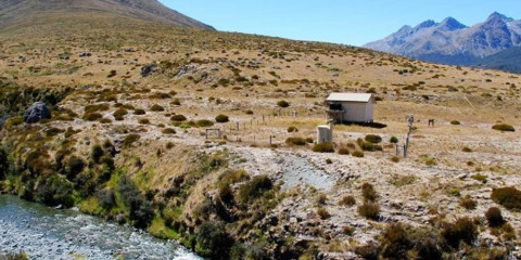
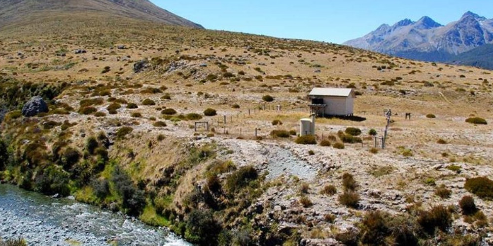
This track starts at the Greenstone Car Park about 40km from Glenorchy, at the end of Greenstone Station Road. It is well marked and initially formed, but the ground trail becomes less defined in mid sections where it follows marker poles. The track has a relatively easy gradient with its highest point being 728m on the saddle at the southern end of Passburn Valley. This is where the track leaves Otago and enters Southland, Te Araroa’s most southern region. Te Araroa Trail Pass holders receive 20% discount on Greenstone Hut (bookings required) Camping is included in Trail Pass (bookings required) Mid Caples Hut and McKellar Hut are DOC Services huts, adult price $25 (bookings required} Greenstone Hut to Taipo Hut - 10km / 4-5 hours The track towards Taipō Hut is sign-posted. It climbs up and around to the Pass Burn Valley. Near the valley head, the track drops to a creek and then climbs back up to the saddle. Descend following marker poles to Taipō Hut (8 bunks), which is near the banks of the Mararoa River. Taipo Hut to Boundary Hut - 12km / 3-4 hours From the hut, cross the Mararoa River swingbridge. From here the track stays near the river and follows marker poles through open country. Recross the river on another swingbridge to reach Boundary Hut (8 bunks). Boundary Hut to Careys Hut - 6km / 2 hours From Boundary Hut, follow the 4WD track to the junction with the track to Forks Hut. Take the left-hand track down towards North Mavora Lake. Careys Hut (7 bunks) has a wood-fired stove and is near the base of a hill at the north end of the lake. Careys Hut to Mavora Camping Area - 10km / 2 hours The 4WD track follows the lake edge around to the Mavora Camping Area at the lake’s southern end. There are parking and toilets here. Camping is for a small fee paid via a self-registration system. The end of the track is at the Mavora Lakes Camping Area. Road access to Mavora Lakes is via 39km of gravelled road from either Centre Hill or Burwood Station. Both access points are signposted from SH94 between Mossburn and Te Anau
Potential hazards River crossings – never cross flooded rivers Small stream crossings Track exposed to sun, wind or cold Weather extremes
Northern Start: Greenstone Station Road carpark Southern End: Mavora Camping Area, Mavora Lakes Road Transport to Glenorchy and/or Kinloch and/or Mavora Walkway Glenorchy Journeys offer daily transport options to the Mavora Walkway trailhead or to Glenorchy/Kinloch - and from Glenrochy/Kinloch to the trailhead. Glenorchy Journeys - 0800 495 687 or 03 409 0800 - office@glenorchyjourneys.co.nz
Before starting Te Araroa either as a through-walker of the whole country or a section walker, please register on Te Araroa website . Please also visit the website or download the app for detailed maps, trail alerts and other relevant information. This track is part of the Herenga ā Nuku Aotearoa track database. Herenga ā Nuku has maps and advice about public access to the outdoors . We encourage you to continue gaining the skills and knowledge required for a safe trip. The NZ Mountain Safety Council has lots of free resources and information you can use. These can be accessed via www.mountainsafety.org.nz . We recommend trying these online learning tools: Trip Planning Tramping/field Skills Basic Navigation River Safety Additionally, check out the range of helpful videos available from the NZ Mountain Safety Council YouTube channel .
Potential hazardsRiver crossings - Never cross flooded rivers Small stream crossings Track exposed to sun, wind or cold Weather extremes
Track information, access and weather can change. Confirm current alerts and land-manager information close to departure, tell someone your plans, and carry equipment appropriate for the route and conditions.