09 October 2026
Mainly fine, some cloud late morning and afternoon. Easterlies for a time afternoon and early evening.
Loading outdoor place details…
Motuihe Island / Te Motu-a-Ihenga
Enjoy our rarest birds, ancient native trees and unique limestone formations in this selection of easy walks.
Distance
1 km
Walking time
20 min to 3 hrs one way
Difficulty
Easy
Dogs
Not allowed
Wheelchair access
Not marked friendly
Current status
No active alerts found. Conditions can still change, so check again before leaving.
Weather outlook
Issued 9 Oct 2026, 3:39 am
09 October 2026
Mainly fine, some cloud late morning and afternoon. Easterlies for a time afternoon and early evening.
10 October 2026
Cloudy, but becoming fine for a time in the afternoon and evening. Northeasterlies developing in the morning.
11 October 2026
A few showers. Northerlies, turning westerly in the morning.
12 October 2026
Showers becoming isolated with longer fine breaks in the morning. Westerlies, dying out in the morning.
13 October 2026
Mostly cloudy, with isolated showers. Light winds.
Regional guidance only; elevation and terrain can produce different conditions.
Explore the area
Explore the track route and surrounding area before you set out.
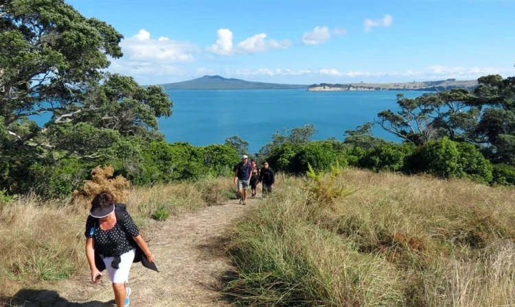
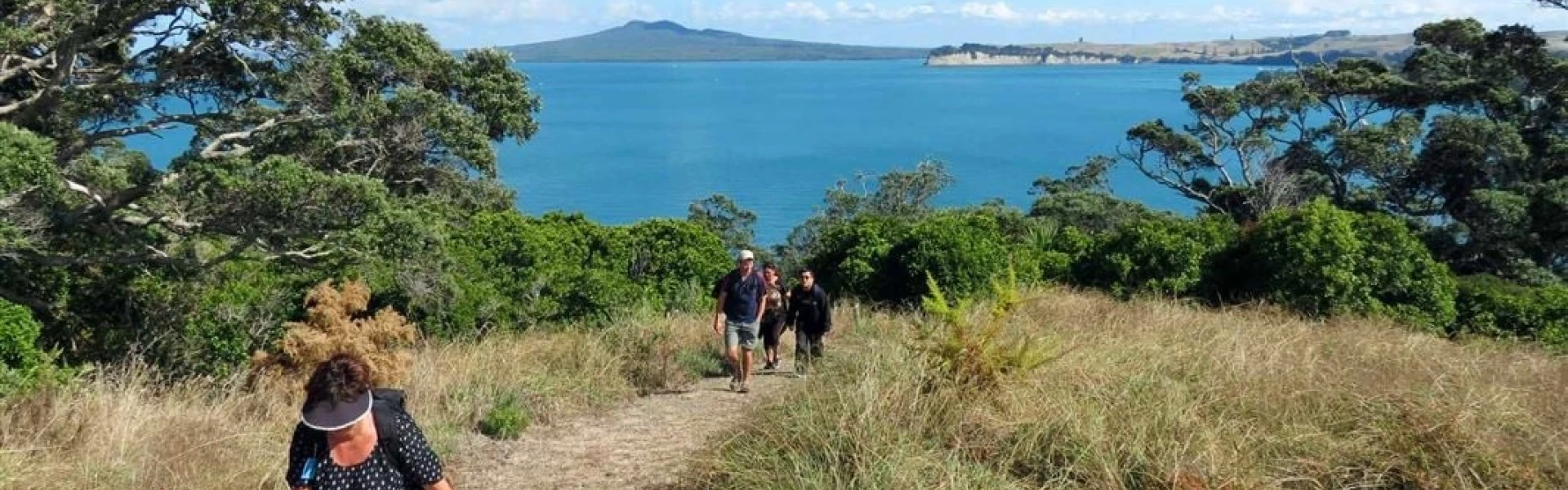
The walking tracks are marked with directions on track intersection bollards showing distances and walking times to various locations. The walking times shown on the bollards assume a leisurely pace with stops. A map of the tracks with the following descriptions is available to download from the Motuihe Project website. Tieke Track - 1.5 - 2.5hr, 5km return from the wharf Tieke Track is in the middle of the island and is accessed from the wharf and also beaches around the island via the marked tracks. The walk starts through trees planted in 2003 and passes under ancient native trees which are home to a wide variety of birds including the very rare tieke. There is a seat overlooking Wharf Bay, and a geologically significant pancake limestone formation can be viewed. Many rare and endangered birds introduced since 2005 can be seen and heard on the walk, often feeding on nectar, berries and seeds. The track emerges from the bush near the ridgeline and there is an option to head south to Nga Taikorapa or north to head towards the wharf or other beaches. Eastern Beaches Track - 1.5 - 2.5hr, 5.5km return from the wharf This loop walk is generally an easy gradient on a grass track, with outstanding views of the Hauraki Gulf, beaches and regenerating bush. The track includes access to Ocean Beach, Snapper Bay, Calypso Bay and views over Ohinerau Bay. There are some marked Link tracks off this track which provide quicker routes to other destinations. Depending on wind direction it is always possible to find a sheltered beach for a picnic. Bald Knob Track - 2 - 3hr, 6.5km return to the wharf The Bald Knob Track takes visitors to the southern end of the island where there is a secluded sandy beach. The track follows the ridgeline providing 360 degree views of Hauraki Gulf and at Bald Knob views looking over Wharf Bay to Rangitoto. The grass track is through regenerating bush and pasture. Headland Heritage Walk to Cemetery - 20 - 45 min, 1km return The walk is on a sealed road up the tree lined slope past the toilets towards the Cemetery which is at the most northern point of the island. The road passes historic olives planted in the 1860s and takes in 360 views of Waitemata Harbour Hauraki Gulf Islands, and ends at the 1918 Spanish Flu graveyard.
No fires There is a total fire ban in this area. However, you may use gas-fuelled cooking equipment. Hazards Beware of cliff edges. Supervise children at all times while on the track. Historic structures may be unstable. Stay well clear. Be aware of ferry departure times - alternative transport or accomodation may not be available. No dogs No dogs are allowed on the island. This includes no dogs on the shore or foreshore. Facilities Toilets are near the track to the wharf. There is nowhere to dispose of rubbish - take all your rubbish with you. Camping Overnight camping is allowed in designated areas only.
DOC maintain a campsite at the north-eastern end of the island. This is open year-round, and bookings are required. For further information, and to make a booking, visit the DOC website.
Many people arrive with thier own boat, however several commercial operators offer boat transfers to and from Motuihe Wharf at set times. There is a good boat anchorage adjacent to the Motuihe campsite for those arriving by boat. This is located on the North-western headland of Motuihe Island/Te Motu-a-Ihenga. A list of transport operators is kept on the Motuihe Project website.
We encourage you to continue gaining the skills and knowledge required for a safe trip. The NZ Mountain Safety Council has lots of free resources and information you can use. These can be accessed via www.mountainsafety.org.nz . We recommend trying these online learning tools: Trip Planning Tramping / field Skills Basic Navigation River Safety Additionally, check out the range of helpful videos available from the NZ Mountain Safety Council YouTube channel .
No dogs.
Track information, access and weather can change. Confirm current alerts and land-manager information close to departure, tell someone your plans, and carry equipment appropriate for the route and conditions.