11 October 2026
Showers, clearing this afternoon, but cloud and drizzle remaining about western slopes.
Loading outdoor place details…
Holdsworth area
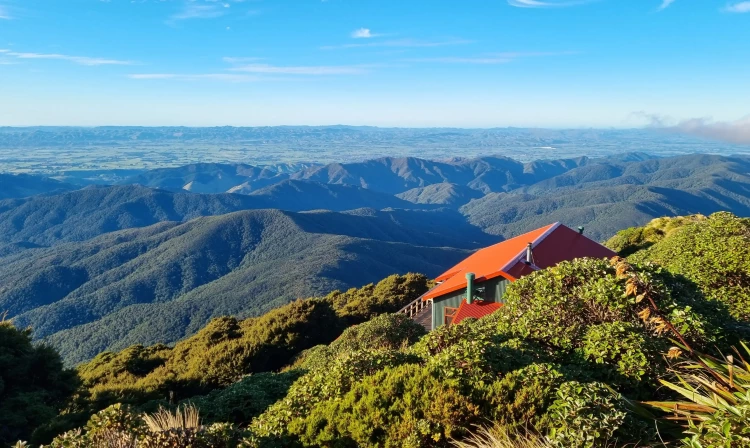
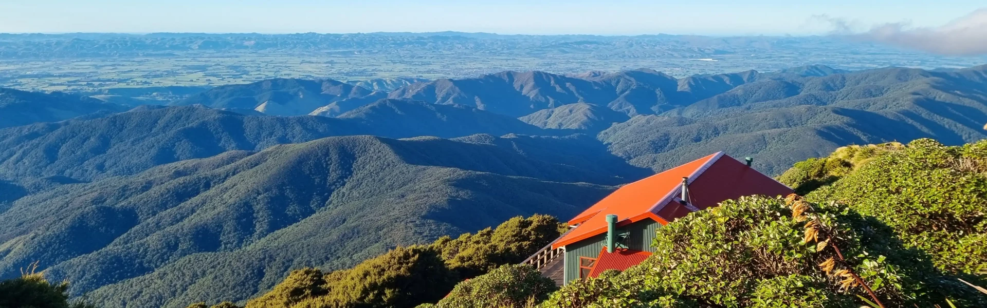
The classic Mt Holdsworth - Jumbo Circuit is a 2 to 3 day tramp involving a climb through beech-podocarp forest to some of the best alpine tops travel in the Tararua Forest Park.
Distance
24 km
Walking time
2–3 days
Difficulty
Intermediate
Dogs
Allowed — check local rules
Wheelchair access
Not marked friendly
Current status
Weather outlook
Issued 11 Oct 2026, 7:33 am
11 October 2026
Showers, clearing this afternoon, but cloud and drizzle remaining about western slopes.
12 October 2026
Morning drizzle in the west, otherwise fine. Clouding over everywhere in the evening.
13 October 2026
Showers, some heavy in the afternoon and evening.
14 October 2026
Occasional rain.
15 October 2026
Heavy rain easing to showers. Snow lowering to 1300 metres.
Regional guidance only; elevation and terrain can produce different conditions.
Explore the area
Explore the track route and surrounding area before you set out.
Starting from Holdsworth Lodge, carry on along the gravel track, cross the bridge over the Atiwhakatu Stream and follow the Gentle Annie track to Mountain House Shelter. This track is well graded and offers several lookout points to Mount Holdsworth and Mount Jumbo. After about an hour you'll reach Rocky Lookout, which offers good views over the Wairarapa. Another hour later, Mountain House Shelter is a pleasant resting spot. Beyond this point the track climbs steeply through dense bush and out onto the open tops. Powell Hut is located just after emerging from the bush.
Follow the track leading north-east along the main ridge to the Mt Holdsworth trig (1470 m). Follow the exposed ridge north to Jumbo Peak (1405 m). The track then descends east along a spur to Jumbo Hut. Caution: Beware of high winds, low cloud and icy underfoot conditions on all country above the bushline. The open tops are often not marked and can be difficult to negotiate in cloudy conditions.
The main track to Atiwhakatu Hut is via Raingauge Spur. Descend on the benched track immediately below Jumbo Hut. Once in the bush, follow the track down Raingauge Spur to Atiwhakatu Hut. A rain gauge was once located in a clearing half-way down the ridge. There is a section of re-routed track subsiding on this section of the circuit. Proceed with caution when walking along this slip section . From Atiwhakatu Hut, follow the Atiwhakatu track to Holdsworth Lodge. This involves several enthralling swing bridges which may be challenging for those without a head for heights!
There are 3 huts on the track, as well Holdsworth Campsite and lodge at the start. The most popular, Powell Hut , sleeps 32 while Jumbo Hut sleeps 20. Both have expansive views over the Wairarapa and gas stoves. Atiwhakatu Hut sits alongside the Te Whakatūrākau Stream and sleeps 26. You'll need to bring your own stove. Huts must be booked in advance . Be aware that Saturday nights are frequently booked out months in advance.
As you enter Masterton from the south, or leave from the north, take Norfolk Road toward the Tararua Ranges at the roundabout. This is signposted and there is a timber processing plant on the corner. Follow this road for 15 km to Holdsworth campsite. Use this location in Google Maps to find your way there.
We encourage you to continue gaining the skills and knowledge required for a safe trip. The NZ Mountain Safety Council has lots of free resources and information you can use. These can be accessed via www.mountainsafety.org.nz . We recommend trying these online learning tools: Trip Planning Tramping / field Skills Basic Navigation River Safety Additionally, check out the range of helpful videos available from the NZ Mountain Safety Council YouTube channel .
Tararua Forest Park is renowned for its changeable and wild weather, particularly on the open tops. Much of the terrain is rugged, so trampers should travel prepared. Beware of high winds, mist and icy underfoot conditions above the bushline. Beyond the Holdsworth-Jumbo Circuit, the open tops are often not marked and are difficult to negotiate in misty or cloudy conditions. Neighbouring tramps should only be attempted by experienced trampers. Strong winds are most likely to cause issues on this track, either from the northwest or southerly directions. Heavy rain is also relatively common and snow is possible in the colder months.
Dogs allowed. Keep dog under control at all times.
Track information, access and weather can change. Confirm current alerts and land-manager information close to departure, tell someone your plans, and carry equipment appropriate for the route and conditions.