09 October 2026
Fine, apart from some cloud about and south of Manukau until early evening. Northeasterlies.
Loading outdoor place details…
Manukau / South Auckland
Te Araroa trail section: Make your way through Wiri to Auckland Botanic Gardens.
Distance
10.2 km
Walking time
3 hours
Difficulty
Intermediate
Dogs
Not allowed
Wheelchair access
Not marked friendly
Current status
No active alerts found. Conditions can still change, so check again before leaving.
Weather outlook
Issued 9 Oct 2026, 4:49 pm
09 October 2026
Fine, apart from some cloud about and south of Manukau until early evening. Northeasterlies.
10 October 2026
Partly cloudy with the chance of a light shower, mainly in the morning and early afternoon. Northeasterlies developing in the morning.
11 October 2026
A few showers. Northeasterlies, turning northwesterly before dawn.
12 October 2026
Occasional rain, clearing in the evening. Northwesterlies, dying out in the morning.
13 October 2026
A few showers, clearing in the evening. Light winds.
Regional guidance only; elevation and terrain can produce different conditions.
Explore the area
Explore the track route and surrounding area before you set out.
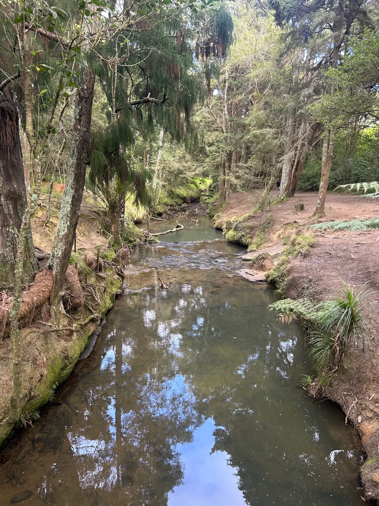
Puhinui Stream Track - 9km At the end of Prices Road continue straight ahead, passing farm buildings, a house on your left and a pond on your right. You’ll see a cattle grid stile across the fence into the reserve. After the stile bear left off the gravel path and through a farm gate. Head east across the reserve to a gate in the northeast corner (the row of trees on your left intersects the reserve at that point). Join the gravel path there and continue north alongside Puhinui Stream. Crossing the footbridge, continue upstream, now on the Puhinui’s true left bank. Leave the stream at Aerovista Place. Turn right out of Aerovista into McLaughlins Road, then left into Vogler Drive to the junction with Roscommon Road. Turn right and follow Roscommon Road until the traffic lights. Turn left off Roscommon Road into Wiri Station Road. Follow this road about 2.5kms to its junction with Lambie Drive and Druces Road. Diagonally across the intersection, the Puhinui Stream track opens up again. Follow it through to meet up with Kerrs Road. Follow Kerrs Road east up to Great South Road, turn right down Great South Road for 400m to where the Puhinui Stream goes underneath. Take the pedestrian underpass to the true right-hand bank of the Puhinui Stream and follow this very impressive track (rebuilt in 2025) right up and underneath the Southern Motorway into the Auckland Botanic Gardens . Te Araroa was previously signposted through the lower part of Totara Park to Wairere Road. The current route goes through the extensive ornamental gardens and past the Visitor Centre and Cafe Miko to the Botanic Garden Entrance.
Potential hazards Vehicles on road or track – take care in urban areas Few water sources recommended not to drink from Puhinui Stream Leave gates as you find them.
Northern Start: Puhinui Reserve, Prices Road Southern End: Botanical Gardens Entrance, Hill Road Bus stops on Hill Rd Auckland Transport - for bus or train information - P: 0800 103 080 freephone or 09 366 6400. All public transport, buses, trains and ferries operated by Auckland Transport use accept debit and credit cards or an AT HOP card for payment. Cash payments are not accepted onboard buses, trains or ferries. It is highly recommended to download the free AT Mobile app for planning any trip in Auckland, whether by public transport or on foot as the app calculates route maps to any address
Before starting Te Araroa either as a through-walker of the whole country or a section walker, please register on Te Araroa website . Please also visit the website or download the app for detailed maps, trail alerts and other relevant information. This track is part of the Herenga ā Nuku Aotearoa track database. Herenga ā Nuku has maps and advice about public access to the outdoors . We encourage you to continue gaining the skills and knowledge required for a safe trip. The NZ Mountain Safety Council has lots of free resources and information you can use. These can be accessed via www.mountainsafety.org.nz . We recommend trying these online learning tools: Trip Planning Tramping/field Skills Basic Navigation River Safety Additionally, check out the range of helpful videos available from the NZ Mountain Safety Council YouTube channel .
Potential hazardsVehicles on road or track - take care in urban areas Few water sources recommended not to drink from Puhinui Stream Leave gates as you find them.
Track information, access and weather can change. Confirm current alerts and land-manager information close to departure, tell someone your plans, and carry equipment appropriate for the route and conditions.