11 October 2026
Showers, possibly heavy with snow flurries to 2100 metres, clearing to fine spells this afternoon.
Loading outdoor place details…
Tongariro National Park
Walk to cold water springs that create a small oasis of flowers in summer.
Distance
9.2 km
Walking time
2 hr return
Difficulty
Easy
Dogs
Not allowed
Wheelchair access
Not marked friendly
Current status
Weather outlook
Issued 11 Oct 2026, 7:33 am
11 October 2026
Showers, possibly heavy with snow flurries to 2100 metres, clearing to fine spells this afternoon.
12 October 2026
Cloud about the terrain lifting in the morning and becoming mainly fine. Isolated afternoon showers then clouding over again in the evening with possible late drizzle.
13 October 2026
A few showers, widespread and heavier in the afternoon and evening.
14 October 2026
Showers developing.
15 October 2026
Showers, turning to heavy rain, with snow to 1900 metres.
Regional guidance only; elevation and terrain can produce different conditions.
Explore the area
Explore the track route and surrounding area before you set out.
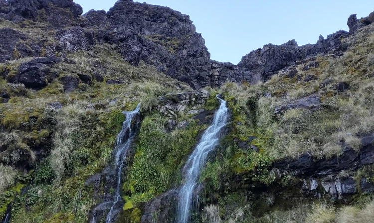
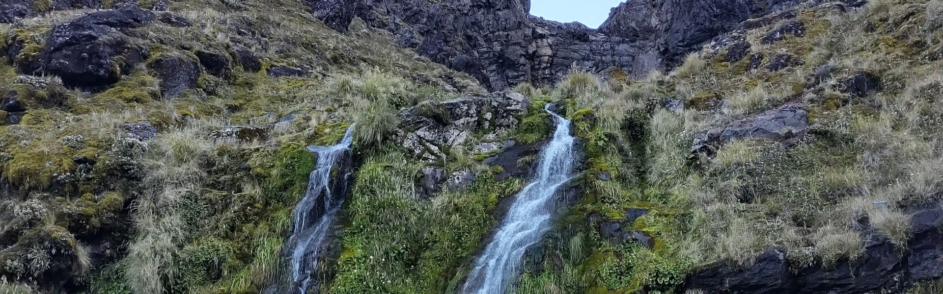
The track to Soda Springs follows Mangatepopo Stream and is part of the Tongariro Alpine Crossing . Ngauruhoe’s most recent lava flows appear dark in contrast to the older flows which are slowly revegetating. Under the headwall of the Mangatepopo valley, these cold water springs create a small oasis of lush yellow mountain buttercups and white foxgloves in summer.
Water Tongariro National Park is a volcanic zone and high mineral concentrations are present in many of its waterways. Giardia may also be present in some streams in the park. We recommend you boil all drinking water for at least 3 min. Weather The climate of Tongariro National Park is highly unpredictable and changes quickly. High levels of rain and very cold temperatures are common, and snow is possible at any time of the year. Check the latest weather forecast and track conditions before starting out on any hikes, and always be prepared for bad weather. Tongariro Alpine Crossing booking system We recommend visitors to the Soda Springs Walk book to use the Tongariro Alpine Crossing Track . Lahar hazards on Mount Ruapehu Mount Ruapehu is an active volcano. An eruption may generate lahars (volcanic floods and mudflows) in major valleys and in the Whakapapa Ski Area. Hikers and skiers should familiarise themselves with known lahar paths and be prepared to move out of valleys should an eruption occur.
The track starts at the Mangetepopo Carpark. Parking at Mangatepopo car park is limited; it is first come, first served, cannot be booked, and has a 4 hour parking limit for visitors to the Mangatepopo Valley. Shuttle companies offer services from many local areas to manage your trip. Use this location on Google Maps to help find your way there.
We encourage you to continue gaining the skills and knowledge required for a safe trip. The NZ Mountain Safety Council has lots of free resources and information you can use. These can be accessed via www.mountainsafety.org.nz . We recommend trying these online learning tools: Trip Planning Tramping / field Skills Basic Navigation River Safety Additionally, check out the range of helpful videos available from the NZ Mountain Safety Council YouTube channel
No dogs.
Track information, access and weather can change. Confirm current alerts and land-manager information close to departure, tell someone your plans, and carry equipment appropriate for the route and conditions.