11 October 2026
Showers about the Divide, clearing early evening, otherwise fine.
Loading outdoor place details…
Greenstone and Caples Conservation Areas
Steep and sparsely marked, this tramping track is for experienced trampers only.
Distance
15 km
Walking time
8 - 10 hours
Difficulty
Advanced
Dogs
Not allowed
Wheelchair access
Not marked friendly
Current status
No active alerts found. Conditions can still change, so check again before leaving.
Weather outlook
Issued 10 Oct 2026, 9:23 pm
11 October 2026
Showers about the Divide, clearing early evening, otherwise fine.
12 October 2026
Fine.
13 October 2026
Rain developing.
14 October 2026
Heavy rain easing to showers. Snow lowering to 1900 metres.
15 October 2026
Showers developing. Snow lowering to 1100 metres.
Regional guidance only; elevation and terrain can produce different conditions.
Explore the area
Explore the track route and surrounding area before you set out.
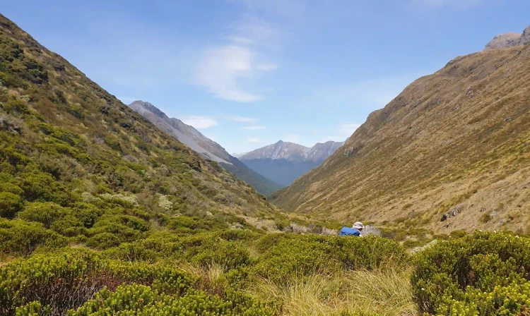
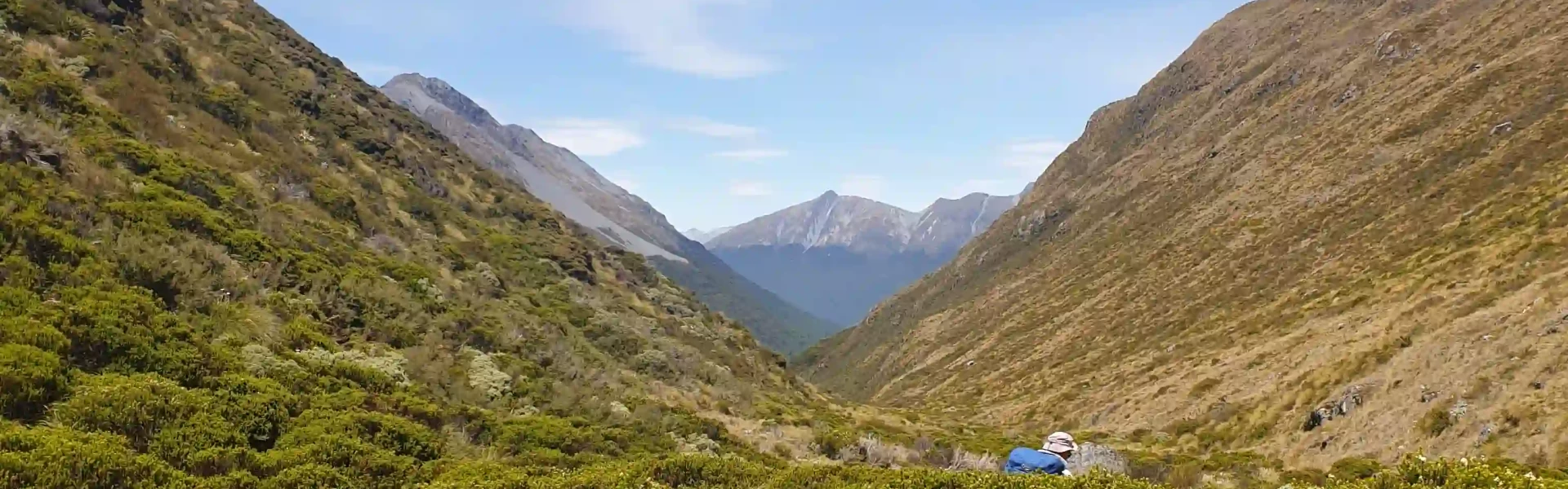
Although the track can be completed in either direction, it's a bit easier on the knees to start from the Caples side and finish on the Greenstone, so is described in that direction, north to south. Starting from Upper Caples Hut, the track heads immediately uphill through the beech forest. After 750m of elevation gain, the track reaches the treeline, but continues to climb steeply for another 150m through tussock, before contouring around to the saddle. Orange track marker poles mark the way. The track then continues from the saddle down to Steele Creek, following the creek from here on. Be prepared for the shrubs to get very dense to walk through as you descend. There is no defined track here, and it becomes sparsely marked, but by following the true left side of the creek you'll stay on track. Once back in the forest, the track starts off on the true left, crossing over to the true right of the creek and staying on that side until reaching Steele Creek Hut. The track crosses multiple creeks, normally low when dry, and goes in and out of the forest as it continues downstream, following the creek bed, with a scattering of orange track markers to lead the way. Around a kilometre from the hut, the track enters a clearing, before re-entering the forest just before arriving. After the hut, the track continues along the stream through mature forest before emerging onto the Greenstone Track near Steele Creek Lodge. Windfall is common through this section.
Be aware of the hazards This is a challenging track which is not recommended for young children. This track is difficult to find in places - you will need good route finding skills. There can be extensive windfall along this track which may slow your progress and lengthen your travelling time Track requires crossing scree fields. There is no toilet on the track. What to do if there's no toilet. The track reaches high altitudes During winter Steele Creek Pass, at 1359m, is covered in snow. There is unclassified avalanche terrain in this area. Alpine/avalanche experience and gear may be required in winter and spring. Stay safe when crossing rivers If you plan to cross unbridged rivers, know how to cross safely and be prepared for if you cannot cross. Do not cross if the river is flooded, you cannot find safe entry and exit points or are unsure it’s safe. Turn back or wait for the river to drop. If in doubt, stay out. How to cross rivers safely
Steele Creek Hut is a basic 4-bunk hut which is free to stay at. Depending on your route to this track, you will also need to camp or stay in huts on the Caples and Greenstone Tracks. Huts Mid Caples Hut , McKellar Hut and Greenstone Hut are managed by DOC. Bookings are not required. Hut tickets can be purchased from DOC Visitor Centres in Queenstown or Te Anau and other approved outlets. Please note that t he huts are excluded from the Backcountry Hut Pass from 1 October to 30 April. DOC huts on the track are serviced with coal fires for heating only. All huts have mattresses. There is running water in summer months at all huts. Carry your own cookers as gas stoves are not provided. Hut wardens are present on the tracks from late October until mid-April. Mid Greenstone Hut and Upper Caples Hut are managed by the NZ Deerstalkers' Association and can be booked via these links. Camping is allowed along the bush edge, 50 metres from the track. You cannot camp on McKellar Saddle or on the open valley floors of the Caples or Greenstone Valleys as this is private land.
The Caples and Greenstone tracks start from the carpark at the end of Greenstone Road, 86 km from Queenstown, via Glenorchy. Use this location in Google Maps to find your way there. Alternatively, they can be started from Lake Howden outlet on the Routeburn Track, which is one hour's walk from The Divide on State Highway 94, 80 km from Te Anau on the road to Milford Sound. Use this location in Google Maps to find your way to The Divide. In summer, both ends of the tracks are serviced daily by various transport companies . Contact the operators for schedules.
We encourage you to continue gaining the skills and knowledge required for a safe trip. The NZ Mountain Safety Council has lots of free resources and information you can use. These can be accessed via www.mountainsafety.org.nz . We recommend trying these online learning tools: Trip Planning Tramping / field Skills Basic Navigation River Safety Additionally, check out the range of helpful videos available from the NZ Mountain Safety Council YouTube channel
No dogs.
Track information, access and weather can change. Confirm current alerts and land-manager information close to departure, tell someone your plans, and carry equipment appropriate for the route and conditions.