10 October 2026
Cloudy periods. Isolated showers developing around midday, becoming confined to the ranges in the evening. Northeasterlies.
Loading outdoor place details…
Whanganui National Park
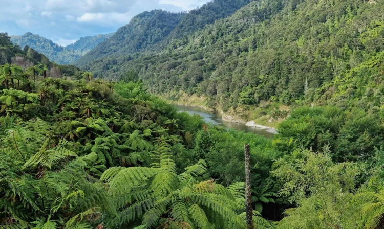
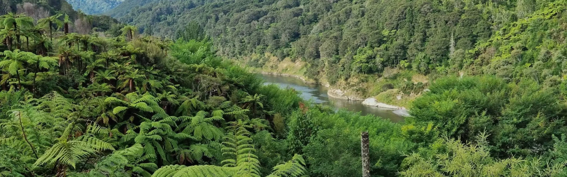
Paddle the scenic Whanganui River through a landscape of remote hills and bush clad valleys. This trip is suitable for people with good fitness and confidence with a canoe.
Distance
88 km
Difficulty
Intermediate
Dogs
Not allowed
Wheelchair access
Not marked friendly
Current status
Weather outlook
Issued 10 Oct 2026, 5:00 am
10 October 2026
Cloudy periods. Isolated showers developing around midday, becoming confined to the ranges in the evening. Northeasterlies.
11 October 2026
A few showers. Northwesterlies, dying out in the evening.
12 October 2026
Mainly fine, but cloudy with isolated showers in the afternoon. Light winds.
13 October 2026
Partly cloudy with isolated showers. Northwesterlies developing in the morning.
14 October 2026
Rain developing. Northwesterlies developing.
Regional guidance only; elevation and terrain can produce different conditions.
Explore the area
Explore the track route and surrounding area before you set out.
The 145 km river journey from Taumarunui to Pipiriki takes an average 5 days to complete by canoe. A shorter 3 day journey from Whakahoro to Pipiriki is also possible. Each trip requires a good level of fitness and confidence in using a canoe. For a 5 day / 4 night trip: Day 1 and 2 – Taumarunui to Whakahoro Day 3 – Whakahoro to John Coull Hut Day 4 – John Coull Hut to Tīeke Kāinga Day 5 – Tīeke Kāinga to Pīpīriki
This trip is very different to other Great Walks – it’s a paddle, not a walk. Think carefully about if it’s right for you. To do the Whanganui Journey safely without a guide, you should: be in the Great Walk season be a confident swimmer have experience in a canoe be fit enough to paddle for 6 to 7 hours in a day be over the age of 10 have at least two people in your group, plus enough adults to look after any children and teens if something goes wrong. If you aren’t an experienced canoe user or are travelling alone, book a guided trip instead. You cannot buy food on the track. Carry all the meals and snacks you will need, plus some spare, and a water bottle. There is no emergency food in huts. You will need to carry emergency food supplies in case you are delayed by weather. Store your food in a rodent-proof container or bag. This is especially important if you are camping.
Take these important steps before you start the Whanganui Journey. Understand how to use your canoe. Make sure you know how to pack it, how to navigate rapids and what to do if you fall out. Carry a distress beacon. Once on the Whanganui Awa (river), there is no cell phone reception and your mobile will not work. There is only emergency communication available at John Coull Hut and Tīeke Marae/Kāinga . You should also: check the weather before you go. Do not canoe if the river is flooding, rising, or predicted to flood. pack plenty of warm clothes and extra food. It can be very cold and you need to be ready to stay an extra night if the river rises. wear bright clothing, so you’re more visible to boats pack what you need to boil or treat water –the water at huts and campsites may not be treated and safe to drink avoid alcohol use or smoking, for your safety and out of respect for the river pack antihistamines if you’re allergic to wasps – they’re especially common from January to May. When you're on the river Stay safe by always wearing a life jacket . Stay on the true right whenever possible. The true right is the right hand side when facing downstream. Be aware of jet boats and know what to do . This is essential for a safe trip. When a jet boat approaches: Move to the right hand side of the river, unless you’re already close to the other side. If you’re close to the left, stick to the left – don’t paddle across the path of the approaching boat Stop or back-paddle, so the jet boat can get away from you as quickly as possible Turn at right angle to the wake – this reduces how bumpy it will feel Crafts travelling up river must give way to crafts travelling down the river. However, jet boats in rapids cannot slow down or stop. Keep an eye on the weather and the river. If the river starts rising or is in flood, stay at your campground or hut until the river levels drop. You won’t be charged for staying an extra night due to high river levels. Rivers can rise overnight even if it’s not raining where you are, so tie your canoe up securely. Leave enough time to reach your next hut or campsite in daylight. It is hard to find them in the dark. Allow extra time if it’s windy as canoeing into the wind can be slow and tiring. Respect nature and culture Many sites are of high cultural significance – please respect them. Avoid alcohol use while on the Awa or at Tīeke Marae/Kāinga. Protect nature while on the Whanganui Journey by: camping only at designated camp sites taking all your rubbish away with you following all fire restrictions and not lighting any open fires. using the toilets provided keeping soap and detergents out of the water leaving dogs or any other animals at home not hunting within the river trench leaving native plants and animals alone – enjoy them from afar.
Taumarunui to Whakahoro Distance: 57 km Access points are at Ngāhuinga (Cherry Grove) in Taumarunui or further downstream at Ōhinepane (accessed from River Road SH43). Travelling the upper reaches of the Whanganui River, you’ll pass through a mixture of farmland and patches of native bush. You’ll be in for some excitement as you shoot down rapids on this section of the river. Camp beside the river at Ōhinepane, Poukaria or Maharanui campsites or stay in a campsite or bunkhouse at Whakahoro. Whakahoro to John Coull Hut Distance: 37.5 km Many begin their river journey here. Past Mangapapa Campsite, take a long loop around the Kirikiriroa Peninsula, pass the Tarepokiore (whirlpool) rapid and then the large overhang known as Tamatea’s Cave. Please do not enter the cave as it is wāhi tapu (a sacred place). Ōtaihanga Reach leads you to your overnight stop at John Coull and Campsite and John Coull Campsite. John Coull Hut to Tīeke Kāinga Distance: 29 km On this section, follow the river passing the mouths of the Tāngārākau and Whangamōmona rivers where they join the Whanganui. Perched high above the river, Manga-wai-iti is an attractive spot to camp or stop for lunch. Continue your trip downstream to Tīeke Kāinga where you can examine the intricately carved pou whenua and learn about the history of Tīeke and the tikanga (protocol) of the marae. Tīeke Kāinga to Pīpīriki Distance: 21.5 km You’ll pass through the scenic gorge of the Manganui o te Ao River where it enters the Whanganui after its journey from the slopes of Mount Ruapehu. Ngāporo and Autapu rapids can provide plenty of excitement and perhaps a cool dip on a hot day. More exotic trees and farmland indicate you are getting close to Pīpīriki. Pass an eel weir on your left, shoot the Paparoa rapid and you will see the boat ramp below Pīpīriki village up ahead.
Distances between campsites and huts Cherry Grove, Taumarunui to Ohinepane campsite — 22 km Ohinepane to Poukaria campsite — 14 km Poukaria to Maharanui campsite — 17 km Maharanui to Whakahoro campsite and Whakahoro Bunkroom— 4 km Whakahoro to Mangapapa campsite — 11 km Mangapapa to Ohauora campsite — 16 km Ohauora to John Coull Hut and Campsite — 10.5 km John Coull Hut to Mangawaiiti campsite — 9.5 km Mangawaiiti to Mangapurua campsite — 9 km Mangapurua to Tīeke Kāinga and Campsite — 10.5 km Tieke to Ngaporo campsite — 12.5 km Ngaporo to Pipiriki — 9 km
Traditional entry or exit points for the Whanganui Journey are off SH4 at: Taumarunui Ōhinepane - access from Taumarunui Whakahoro - access from Raurimu or Ōwhango Pīpīriki access from Raetihi or Whanganui Equipment hire, services, food and transport can be found in Taumarunui, Whanganui, Raetihi, Ōhakune and National Park Village.
We encourage you to continue gaining the skills and knowledge required for a safe trip. The NZ Mountain Safety Council has lots of free resources and information you can use. These can be accessed via www.mountainsafety.org.nz . We recommend trying these online learning tools: Trip Planning Tramping / field Skills Basic Navigation River Safety Additionally, check out the range of helpful videos available from the NZ Mountain Safety Council YouTube channel
No dogs.
Track information, access and weather can change. Confirm current alerts and land-manager information close to departure, tell someone your plans, and carry equipment appropriate for the route and conditions.