09 October 2026
Fine, apart from some cloud about and south of Manukau until early evening. Northeasterlies.
Loading outdoor place details…
Great Barrier Island/Aotea
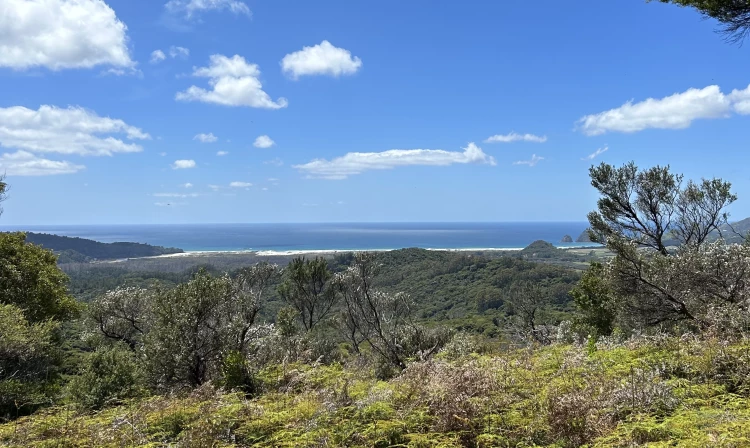
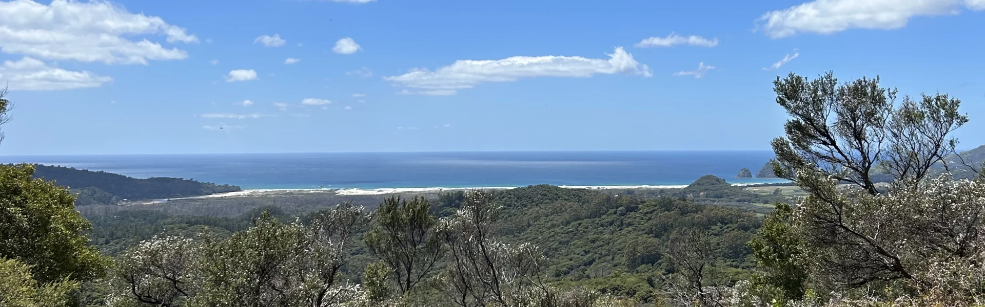
Discover interesting flora and panoramic views at the top of Te Ahumata (398 m).
Distance
4.9 km
Walking time
1 hr
Difficulty
Advanced
Dogs
Not allowed
Wheelchair access
Not marked friendly
Current status
No active alerts found. Conditions can still change, so check again before leaving.
Weather outlook
Issued 9 Oct 2026, 4:49 pm
09 October 2026
Fine, apart from some cloud about and south of Manukau until early evening. Northeasterlies.
10 October 2026
Partly cloudy with the chance of a light shower, mainly in the morning and early afternoon. Northeasterlies developing in the morning.
11 October 2026
A few showers. Northeasterlies, turning northwesterly before dawn.
12 October 2026
Occasional rain, clearing in the evening. Northwesterlies, dying out in the morning.
13 October 2026
A few showers, clearing in the evening. Light winds.
Regional guidance only; elevation and terrain can produce different conditions.
Explore the area
Explore the track route and surrounding area before you set out.
This track follows an old mining road between Whangaparapara and Blind Bay roads. From either end a 30-minute gradual climb leads to a well-signposted junction, where a branch track (a further 2.8km / 30 minutes return) leads to the summit covered with wind-shorn, bonsai-like native plants and numerous orchid species. There are panoramic views in every direction. Start this track from Whangaparapapa Road where the track opening is opposite the entrance to Forest Road, or Blind Bay Road where you'll see a sign and there is a small amount of parking, following these links on Google Maps to help find your way there.
No dogs.
Track information, access and weather can change. Confirm current alerts and land-manager information close to departure, tell someone your plans, and carry equipment appropriate for the route and conditions.