11 October 2026
Showers, clearing in the afternoon, but some cloud remaining about the tops.
Loading outdoor place details…
Mount Aspiring National Park
An extension of the very popular Blue Pools Walk and connects with the Young River. It's also an alternative, high river route to the start of the Gillespie Pass Circuit.
Distance
14 km
Walking time
3 -4 hr
Difficulty
Intermediate
Dogs
Not allowed
Wheelchair access
Not marked friendly
Current status
Weather outlook
Issued 11 Oct 2026, 7:33 am
11 October 2026
Showers, clearing in the afternoon, but some cloud remaining about the tops.
12 October 2026
Fine, but becoming overcast at night.
13 October 2026
Rain, heavy for a time in the afternoon. Snow to 2300 metres.
14 October 2026
Heavy rain easing to showers. Snow to 2100 metres.
15 October 2026
Partly cloudy with isolated showers.
Regional guidance only; elevation and terrain can produce different conditions.
Explore the area
Explore the track route and surrounding area before you set out.
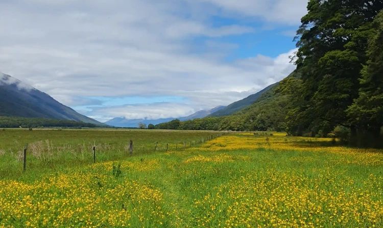
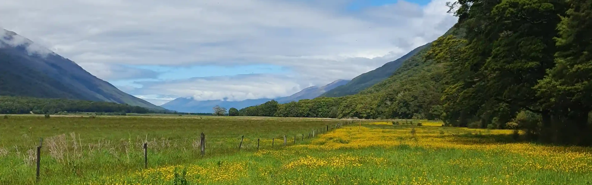
The track starts at the Blue Pools Track car park. After about 10 minutes, just past the first swing bridge, the trail turns left. Soon after, you’ll cross the Blue Pools Bridge, where you can enjoy amazing views of the river gorge. From here, the track goes through beech and tawhero forest to Rainy Flat, then opens onto farmland and bush. These sections lead all the way to the mouth of the Young River. Important: When the river is high, this track can be used as an alternative route to reach the Young River and the start of the Gillespie Pass Circuit . This circuit is a tramping track, so if you plan to continue up the Young Valley, you need good fitness and moderate to high backcountry skills. This track was previously called the Blue-Young Link Track.
Due to high amounts of sandflies , insect repellent is recommended. Limited number of people are allowed on each bridge at any one time. Read the signs and wait for your turn if necessary. Toilets are available at the carpark. While most of the track is well formed, the last 30 metres before the Young River is steep and unformed.
From Wānaka, drive north on the Haast Highway (SH6) to Makarora township. Continue along the highway for about 12 km. The track starts from the Blue Pools carpark off SH6, opposite Cameron Flat campsite. Use this location in Google Maps to find your way there.
We encourage you to continue gaining the skills and knowledge required for a safe trip. The NZ Mountain Safety Council has lots of free resources and information you can use. These can be accessed via www.mountainsafety.org.nz . Level up in your outdoor knowledge with these interactive online learning tools: Trip Planning Tramping / field Skills Basic Navigation River Safety Additionally, check out the range of helpful videos available from the NZ Mountain Safety Council YouTube channel .
No dogs.
Track information, access and weather can change. Confirm current alerts and land-manager information close to departure, tell someone your plans, and carry equipment appropriate for the route and conditions.