10 October 2026
Cloudy. A few showers developing this afternoon, possibly heavy and thundery with hail.
Loading outdoor place details…
Nelson Lakes National Park
This track climbs from Sabine Hut to Angelus Hut on a very steep route.
Distance
6.8 km
Walking time
6 hr
Difficulty
Advanced, Expert
Dogs
Not allowed
Wheelchair access
Not marked friendly
Current status
Weather outlook
Issued 10 Oct 2026, 7:33 am
10 October 2026
Cloudy. A few showers developing this afternoon, possibly heavy and thundery with hail.
11 October 2026
Rain, easing early afternoon, clearing late afternoon. Snow to 2000 metres until afternoon.
12 October 2026
Fine, but becoming overcast in the evening.
13 October 2026
A few showers.
14 October 2026
Heavy rain easing.
Regional guidance only; elevation and terrain can produce different conditions.
Explore the area
Explore the track route and surrounding area before you set out.
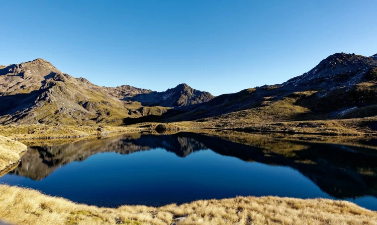
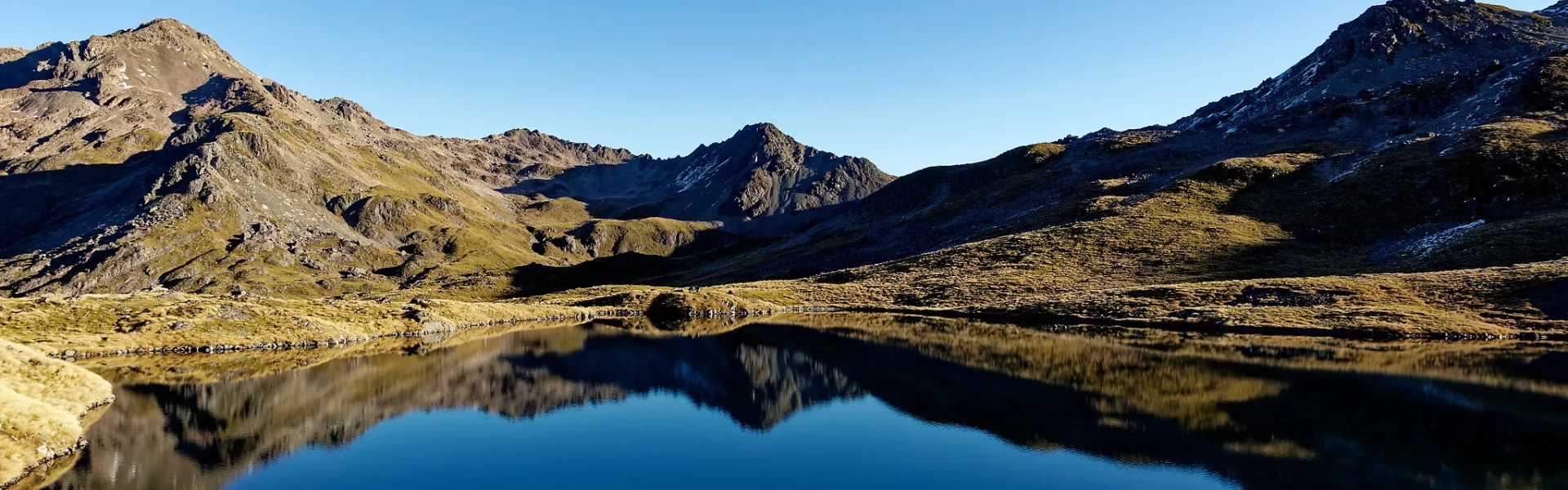
This steep, exposed route climbs above the bush line to Angelus Basin. Beginning behind Sabine Hut, the track ascends sharply over root-covered terrain to the bush edge. From there, poles and cairns mark the way across the high, exposed ridge of Mt Cedric (1,532 m), where strong winds and poor visibility are common. The track then descends to Rotomaninitua / Lake Angelus. For a look at the current weather view the MSC Angelus Basin webcam that faces southwest of the Angelus Basin. It provides data for avalanche forecasts and offers trampers a view of current conditions.
There is no water along the track/route. Freezing winds and snow can occur at any time of the year. There are many wasps in the area, especially from January to April. Giardia has not been found in waters along the track, but it is suggested that water should be boiled, chemically treated or filtered. Avalanches occur in the park every year normally between June and October but sometimes as late as December. Even if you can't see snow from the track, there may be enough out of sight on the upper slopes to form an avalanche that could reach the track. There may be ice on the track in November and December, c rampons and an ice axe are essential, as is the competency using them
You need special skills and preparation and excellent fitness to complete the route to Angelus Hut in winter (May to October). There are increased risks from snow, ice, avalanche terrain and sub-zero temperatures. The trip to the hut can take up to 9 hours with limited daylight. You must: know how to navigate if cloud or snow covers the marker poles and you cannot see them know where avalanches are a risk and be able to rescue someone if an avalanche occurs have the equipment and skills to prevent a slide on icy terrain have the clothing for sub-zero temperatures and be able to survive if the weather gets worse be prepared to spend a night in the open or turn back early if your progress is too slow. In whiteout conditions, the tracks can be extremely difficult to find. Expect ice on the track from May to December. Crampons and an ice axe are essential, as is the competency using them. Avalanches occur in the park every year normally between June and October but sometimes as late as December. Even if you can't see snow from the track, there may be enough out of sight on the upper slopes to form an avalanche that could reach the track. See NZ Avalanche Advisory for current information. You may have to dig your way into the hut. Snow drifts frequently block the entrance. There is no water inside the hut. Plumbing is disconnected to avoid freezing and cracking of pipes. The hut may be cold. Firewood may not be available.
The track starts behind Sabine Hut which can be reached on the Travers-Sabine Circuit , or by water taxi from the Lake Rotoroa village jetty.
We encourage you to continue gaining the skills and knowledge required for a safe trip. The NZ Mountain Safety Council has lots of free resources and information you can use. These can be accessed via www.mountainsafety.org.nz . We recommend trying these online learning tools: Trip Planning Tramping / field Skills Basic Navigation River Safety Additionally, check out the range of helpful videos available from the NZ Mountain Safety Council YouTube channel
No dogs.
Track information, access and weather can change. Confirm current alerts and land-manager information close to departure, tell someone your plans, and carry equipment appropriate for the route and conditions.