09 October 2026
Mainly fine, some cloud late morning and afternoon. Easterlies for a time afternoon and early evening.
Loading outdoor place details…
Warkworth area
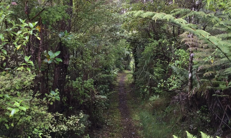
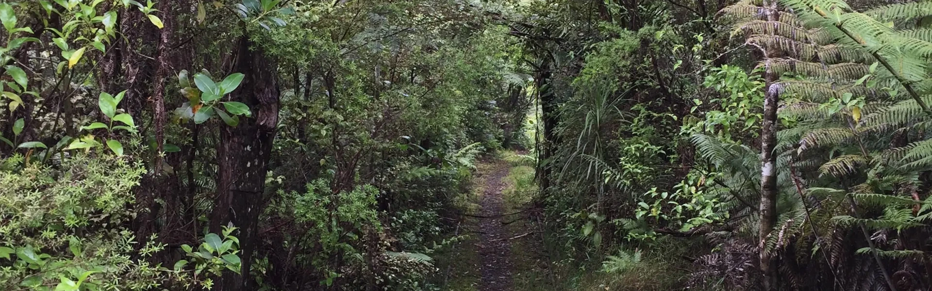
Walk through regenerating forest in the Pohuehue Scenic Reserve, just south of Warkworth, enjoying the sights of the Pohuehue waterfall along the way.
Distance
6 km
Walking time
2 hr
Difficulty
Advanced
Dogs
Not allowed
Wheelchair access
Not marked friendly
Current status
No active alerts found. Conditions can still change, so check again before leaving.
Weather outlook
Issued 9 Oct 2026, 3:39 am
09 October 2026
Mainly fine, some cloud late morning and afternoon. Easterlies for a time afternoon and early evening.
10 October 2026
Cloudy, but becoming fine for a time in the afternoon and evening. Northeasterlies developing in the morning.
11 October 2026
A few showers. Northerlies, turning westerly in the morning.
12 October 2026
Showers becoming isolated with longer fine breaks in the morning. Westerlies, dying out in the morning.
13 October 2026
Mostly cloudy, with isolated showers. Light winds.
Regional guidance only; elevation and terrain can produce different conditions.
Explore the area
Explore the track route and surrounding area before you set out.
For hikers seeking a challenging walk, the Beverley Price Loop Track offers an exhilarating adventure. To fully enjoy this track, it is recommended to follow it in a clockwise direction. Starting by following the easy walk to Pohuehue waterfall, then simply veer off and follow the markers that lead up the gully until you reach the junction with the forestry road. Here, turn right and continue along the ridge until you reach the clearly marked turnoff. Take this track to complete the loop, and you will eventually return to the bridge you first crossed near the car park. It's important to note that the track can be steep and may have rough, slippery, and muddy sections. Take caution while hiking to ensure your safety.
Stop kauri disease and protect kauri Scrub all soil off shoes and gear. Use cleaning stations. Always stay on the track. How you can help save kauri
The walkway is situated 66 km north of Auckland, off Old SH 1 / Twin Coast Discovery Highway. Use this location in Google Maps to find your way there.
We encourage you to continue gaining the skills and knowledge required for a safe trip. The NZ Mountain Safety Council has lots of free resources and information you can use. These can be accessed via www.mountainsafety.org.nz . Level up in your outdoor knowledge with these interactive online learning tools: Trip Planning Tramping / field Skills Basic Navigation River Safety Additionally, check out the range of helpful videos available from the NZ Mountain Safety Council YouTube channel .
No dogs.
Track information, access and weather can change. Confirm current alerts and land-manager information close to departure, tell someone your plans, and carry equipment appropriate for the route and conditions.