9 October 2026
Cloud about the tops.
Loading outdoor place details…
Murchison area
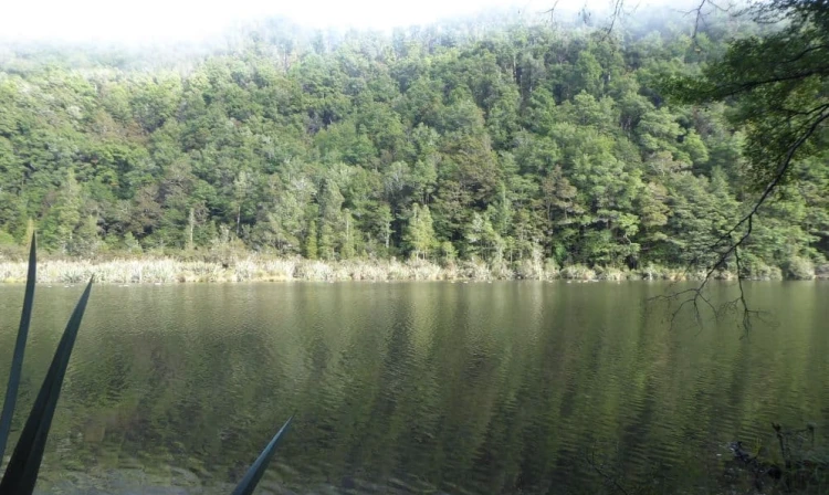
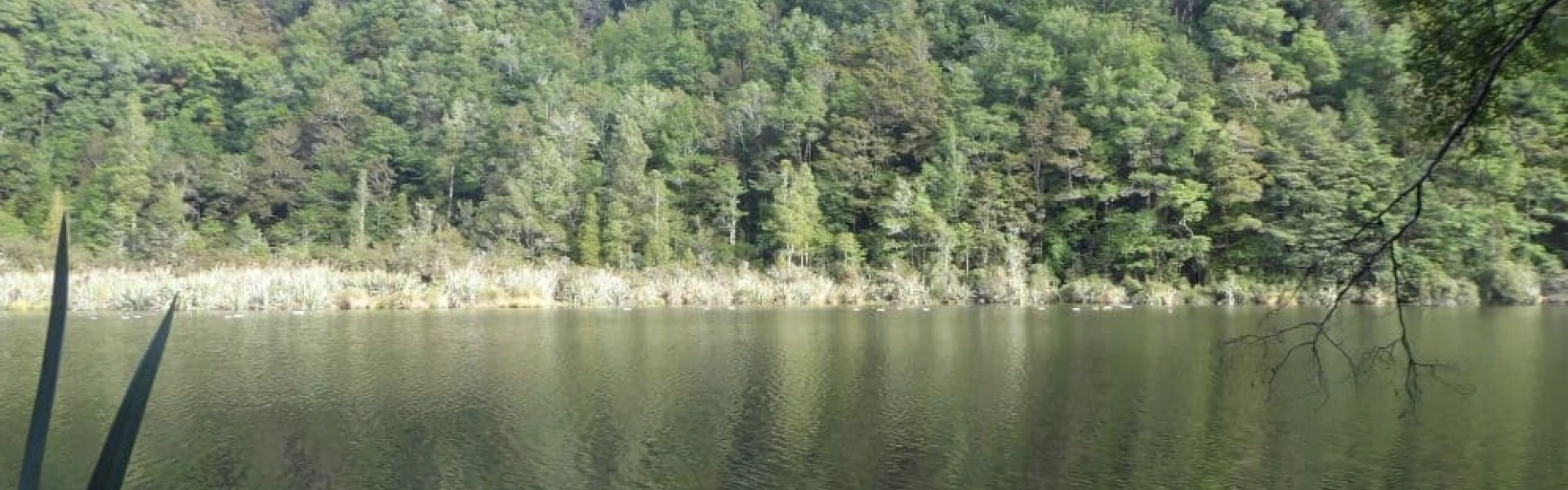
The Eight Mile Track is located south of Murchison, and takes you to an earthquake-dammed lake situated in the Matakitaki Valley.
Distance
3.28 km
Walking time
2 hrs
Difficulty
Intermediate
Dogs
Not allowed
Wheelchair access
Not marked friendly
Current status
No active alerts found. Conditions can still change, so check again before leaving.
Weather outlook
Issued 9 Oct 2026, 7:33 am
9 October 2026
Cloud about the tops.
10 October 2026
Cloud increasing with showers developing in the morning, becoming rain at night with snow to 2000 metres.
11 October 2026
Rain, clearing in the evening. Snow to 2000 metres until afternoon.
12 October 2026
Partly cloudy.
13 October 2026
Cloud increasing.
Regional guidance only; elevation and terrain can produce different conditions.
Explore the area
Explore the track route and surrounding area before you set out.
Eight Mile Track begins 12 km south of Murchison along Matakitaki Road, where a small parking bay and a green DOC sign mark the start. The track winds through lush native forest on the true right of Eight Mile Creek, climbing gradually up the valley. At the lake, the route follows its eastern edge. While glimpses of the water can be seen through the trees, there are no easy viewpoints to take in the entire lake. The lake is home to endemic waterfowl, including New Zealand scaup and paradise ducks. The track finishes at the lake’s southern end. Return via the same route. Use this location on Google Maps to help find your way there.
Track information, access and weather can change. Confirm current alerts and land-manager information close to departure, tell someone your plans, and carry equipment appropriate for the route and conditions.