11 October 2026
Showers about the Divide, clearing in the evening, otherwise fine.
Loading outdoor place details…
Ruataniwha Conservation Park
The Huxley valley branches off Hopkins valley in Ruataniwha Conservation Park.
Distance
23 km
Walking time
Up to 9 hr one way
Difficulty
Advanced
Dogs
Allowed — check local rules
Wheelchair access
Not marked friendly
Current status
Weather outlook
Issued 10 Oct 2026, 9:23 pm
11 October 2026
Showers about the Divide, clearing in the evening, otherwise fine.
12 October 2026
Fine.
13 October 2026
Partly cloudy with isolated showers.
14 October 2026
Rain, with heavy falls.
15 October 2026
Rain developing, with snow to 600 metres.
Regional guidance only; elevation and terrain can produce different conditions.
Explore the area
Explore the track route and surrounding area before you set out.
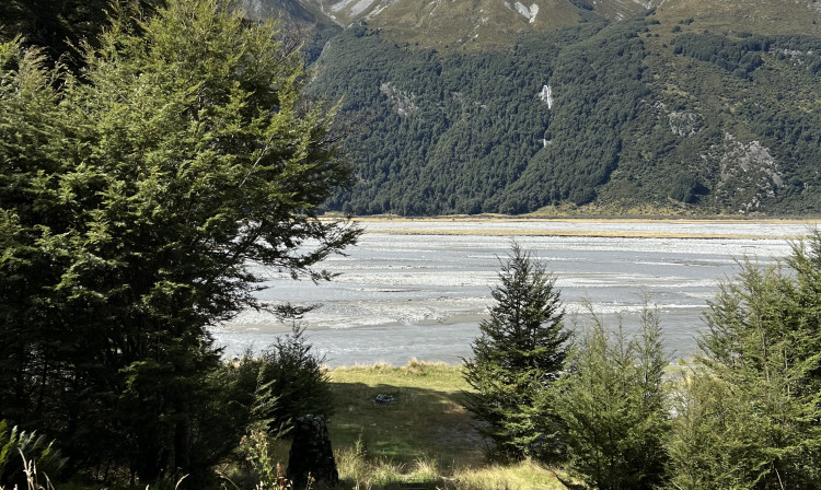
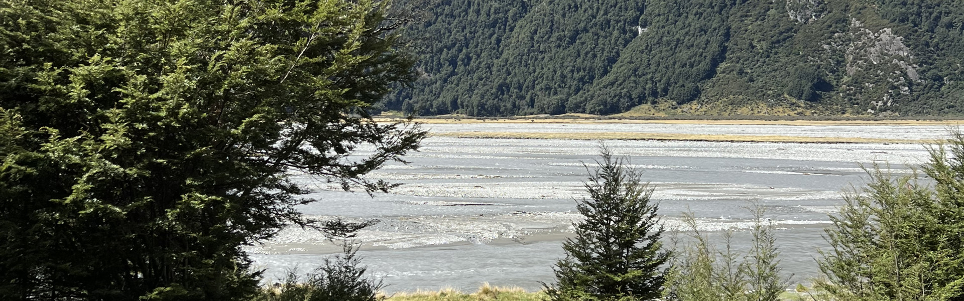
Monument Hut is located 9 km (2–3 hours) up the Hopkins Valley from Ram Hill Car Park at the end of Lake Ōhau Road. If you have a 4WD vehicle you can drive to the conservation park boundary just south of Monument Hut , but the road is very rutted and has big potholes. The route follows a 4WD track on the true right of the Hopkins River, with no river crossings required. The track travels up the wide, open valley, with braided river channels to your right and mountain ranges on both sides, offering a consistent and scenic view throughout the journey.
From Monument Hut, it’s an easy 3 - 4 hour walk alongside the Huxley River to Huxley Forks Hut, located at the junction of the north and south branches of the river. This route can only be followed safely when river levels are at normal flow, as the rivers rise quickly and can become impassable during or after a nor-west storm. The track alternates between river flats and sections through beech forest, with a swing bridge available if the river is high. In normal conditions, it’s quicker to follow the riverbed to reach the hut, which is on the true left of the valley. Huxley Forks Hut (labelled Main Huxley Forks Hut on maps) was built in 1955 for deer cullers. The site is surrounded by mountains and offers spectacular views back down the valley. Nearby, just 20 metres away, is Officers Hut , a small, basic hut providing extra accommodation. From here, return the way you came, or travel further to either Brodrick Hut or South Huxley Bivvy (details below).
Time: 3 hr Distance: 4.5 km The track to Brodrick crosses the North Huxley before following the river up its true-right side. Older sections have collapsed into the river, with newer routes cut higher to bypass these slips. After the first bluffs are avoided, you can follow either the track or the river up the valley, though neither is easier. Just before the steep climb through the beech forest to Brodrick Hut, a section of track has fallen into the river and requires careful negotiation or some bush-bashing to get past. Once in the bush, a short but steep ascent leads to the hut, which offers views over the upper valley and towards Brodrick Pass. From Brodrick Hut, experienced trampers can continue over Brodrick Pass (1630 m) into the Landsborough Valley, a demanding alpine route that requires good weather, navigation skills, and experience in steep backcountry terrain.
Time: 3 hr Distance: 5 km Follow the marked route to South Huxley Bivvy , which is a very small 2-bed hut.
This area has terrain that can produce avalanches that cross the track, usually from May into November. Do not cross rivers in flood, if you cannot find safe entry and exit points, or are unsure it’s safe. Turn back or wait for the river to drop. If in doubt, stay out.
Monument Hut Huxley Forks Hut Officers Hut Brodrick Hut South Huxley Bivvy
Huxley valley branches off Hopkins valley which is at the end of Lake Ohau Road, 60 km from Twizel. Follow SH 6 from Twizel, then turn into Lake Ohau Road. The sealed road changes to gravel after passing Lake Ohau Lodge. Drive carefully and watch out for stock grazing beside the road. As a courtesy, drive slowly past Lake Ohau Station buildings to reduce dust. Park your car at the Ram Hill carpark at the road end, or if you have a 4WD vehicle carry on to Monument Hut. Use this location on Google Maps to help find your way there.
We encourage you to continue gaining the skills and knowledge required for a safe trip. The NZ Mountain Safety Council has lots of free resources and information you can use. These can be accessed via www.mountainsafety.org.nz . Level up in your outdoor knowledge with these interactive online learning tools: Trip Planning Tramping / field Skills Basic Navigation River Safety Additionally, check out the range of helpful videos available from the NZ Mountain Safety Council YouTube channel .
Dogs allowed. Keep dog under control at all times.
Track information, access and weather can change. Confirm current alerts and land-manager information close to departure, tell someone your plans, and carry equipment appropriate for the route and conditions.