09 October 2026
Mainly fine, some cloud late morning and afternoon. Easterlies for a time afternoon and early evening.
Loading outdoor place details…
Warkworth area
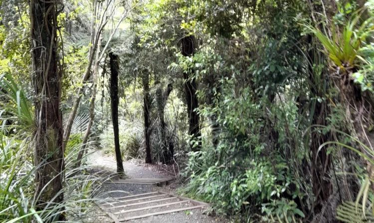
Walk through native bush and forest to a waterfall.
Distance
1.2 km
Walking time
30 min
Difficulty
Easiest
Dogs
Not allowed
Wheelchair access
Not marked friendly
Current status
No active alerts found. Conditions can still change, so check again before leaving.
Weather outlook
Issued 9 Oct 2026, 3:39 am
09 October 2026
Mainly fine, some cloud late morning and afternoon. Easterlies for a time afternoon and early evening.
10 October 2026
Cloudy, but becoming fine for a time in the afternoon and evening. Northeasterlies developing in the morning.
11 October 2026
A few showers. Northerlies, turning westerly in the morning.
12 October 2026
Showers becoming isolated with longer fine breaks in the morning. Westerlies, dying out in the morning.
13 October 2026
Mostly cloudy, with isolated showers. Light winds.
Regional guidance only; elevation and terrain can produce different conditions.
Explore the area
Explore the track route and surrounding area before you set out.
Track description Explore the scenic beauty of the Pohuehue Stream and native forest with this short walk starting from the Old SH 1 / Twin Coast Discovery Highway car park. Begin by descending to the Pohuehue Stream and entering the enchanting native forest. At the track junction, follow the signs that lead you left towards the Waterfall Track, which runs alongside the stream. Along the way, you can also take a detour to the impressive Pohuehue falls and enjoy the view from a lookout point. After experiencing the captivating sights, you have the option to either return to the car park or continue your adventure on the Beverley Price Loop Track . Note: For hikers in search of quick and scenic walks, this easily accessible route offers a delightful journey through picturesque landscapes. Getting there The walkway is situated 66 km north of Auckland, off Old SH 1 / Twin Coast Discovery Highway. Use this location in Google Maps to find your way there. Helpful resources Find tips, guides and how-to videos to help you prepare for your walk at mountainsafety.org.nz
No dogs.
Track information, access and weather can change. Confirm current alerts and land-manager information close to departure, tell someone your plans, and carry equipment appropriate for the route and conditions.