10 October 2026
Partly cloudy, with the chance of a light shower, mainly at night. Northeasterlies developing in the morning.
Loading outdoor place details…
Rodney
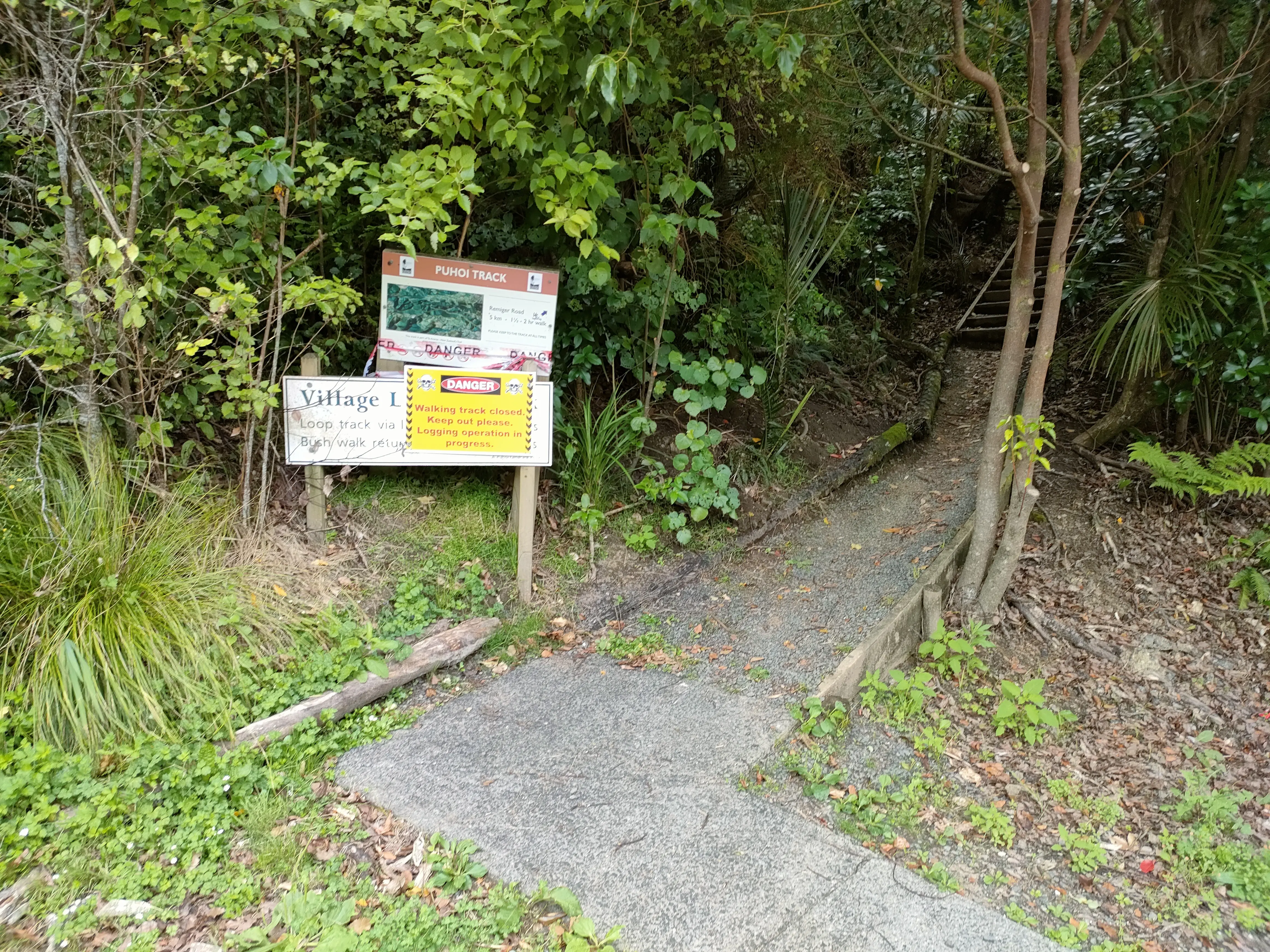
Te Araroa trail section: Enjoy a mix of forest types with good bird life and views of Puhoi Valley.
Distance
4.8 km
Walking time
2 hours
Difficulty
Easy
Dogs
Not allowed
Wheelchair access
Not marked friendly
Current status
Stock have strayed onto the Puhoi Track between km 545.5 and km 546. The track is now extremely muddy after rain. A large pine tree has fallen across the path at km 545.7. The tree has been cut back to make it possible to pass underneath. There is now a bypass track using 500 m of forestry road to avoid most of the muddy track and the fallen tree. At km 545.5 follow the Bypass arrow on the signpost beside the track. Climb over the stile and follow the cut track 15 m to the forest road. Turn right and walk 500 m over a small knoll. The original track joins this road from the right.
Weather outlook
Issued 10 Oct 2026, 5:00 am
10 October 2026
Partly cloudy, with the chance of a light shower, mainly at night. Northeasterlies developing in the morning.
11 October 2026
Occasional rain, clearing for a time in the morning and afternoon. Northerlies, turning westerly in the morning.
12 October 2026
Rain clearing in the afternoon, but remaining cloudy. Northerlies, turning westerly in the morning.
13 October 2026
Mostly cloudy, with a few showers. Northwesterlies developing in the morning.
14 October 2026
A few showers. Northwesterlies.
Regional guidance only; elevation and terrain can produce different conditions.
Explore the area
Explore the track route and surrounding area before you set out.
Puhoi Track - 4.8km The Puhoi Track is now open. The bridge previously at km 534 was destroyed by extreme rainfall in January 2023 has not been replaced. A short bypass fording the Puhoi River 100m upstream from the bridge site now connects to the Puhoi Track, which has been extensively cleared and reconstructed At the end of Remiger Road southbound turn left (west) across the road bridge and up Ahuroa Road for 100m to the ford access track on the right. The ford uses a rock ledge to cross the Puhoi River. In flood conditions the ledge may be covered by the water flow. The river bed immediately downstream from the ledge is significantly deeper. In extreme flood conditions use the road bypass route to Puhoi Village. For northbound hikers the Puhoi Track starts from the carpark across the bridge opposite the Puhoi Pub and Puhoi General Store. The Puhoi River is tidal at the village. In extreme weather conditions the Puhoi River may flood further upstream and the ford crossing near km 534 may not be safe
Potential hazards Vehicles on road or track Poisons and traps Forestry operations Few water sources
Northern Start: Junction of Remiger and Ahuroa Roads, Puhoi Southern End: Puhoi Village
Puhoi NZ Before starting Te Araroa either as a through-walker of the whole country or a section walker, please register on Te Araroa website . Please also visit the website or download the app for detailed maps, trail alerts and other relevant information. This track is part of the Herenga ā Nuku Aotearoa track database. Herenga ā Nuku has maps and advice about public access to the outdoors . We encourage you to continue gaining the skills and knowledge required for a safe trip. The NZ Mountain Safety Council has lots of free resources and information you can use. These can be accessed via www.mountainsafety.org.nz . We recommend trying these online learning tools: Trip Planning Tramping/field Skills Basic Navigation River Safety Additionally, check out the range of helpful videos available from the NZ Mountain Safety Council YouTube channel .
Potential hazardsVehicles on road or track Poisons & traps Forestry operations Few water sources
Track information, access and weather can change. Confirm current alerts and land-manager information close to departure, tell someone your plans, and carry equipment appropriate for the route and conditions.